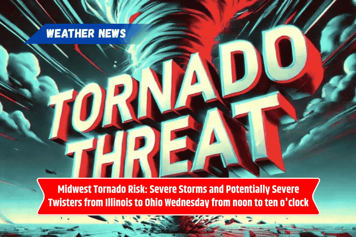
A dangerous weather event is headed for the Midwest on Wednesday, with a high risk of tornadoes and severe storms from central Illinois to northern Ohio. People in the affected areas, including Chicago and Detroit, should prepare for strong winds, large hail, and possibly even tornadoes. The storms will be most active between noon and 10 p.m.
Severe Storm Threat Across the Midwest
According to the Storm Prediction Center, the weather conditions will be perfect for powerful rotating storms across Illinois, Indiana, Michigan, and Ohio. These areas are under a “slight” to “enhanced” risk for severe weather, meaning there’s a higher chance of dangerous storms. Cities like Chicago, Indianapolis, Detroit, and Toledo are at risk for damaging winds and large hail, with the possibility of tornadoes forming.
When and Where to Expect Storms
The storms will hit central Illinois first, with cities like Springfield and Champaign seeing dangerous weather in the early afternoon. By evening, the storms will move east, reaching places like Fort Wayne, South Bend, and Lima. Travelers should be cautious, especially along major highways like Interstates 55, 65, and 70, as these areas will experience hazardous conditions during rush hour.
Safety Tips
Residents in the affected areas should make sure they can receive weather warnings through multiple channels (like apps, weather radios, or alerts). It’s also important to keep devices charged and avoid traveling if the storms are expected to be near. Schools and businesses should check their emergency plans and be ready to act quickly if needed.
First Tornado Risk of June
This storm is the first widespread tornado threat for the region in June. As the weather develops, more updates and possible warnings will be issued by the National Weather Service. Stay alert, stay safe, and stay informed.