Tulsa, Oklahoma – Eastern Oklahoma is set for a stormy and dangerous Thursday as widespread thunderstorms and heavy rainfall create a high risk of flash flooding. While severe weather threats like strong winds and hail are possible, flooding remains the biggest concern across the region.
Flood Watch in Effect
The National Weather Service in Tulsa has issued a Flood Watch through 1 p.m. for northeastern Oklahoma and parts of northwest Arkansas. Forecasters warn that 1 to 4 inches of rain is expected across the area, with isolated totals reaching up to 6 inches in some spots.
Counties like Ottawa and Delaware are most at risk due to repeated thunderstorms moving over the same locations.
Cities at Greatest Risk
Tulsa, Bartlesville, and Fayetteville lie directly in the high-risk flood zone, with a 60–70% chance of storms continuing through much of the day. South of Tulsa, areas such as Muskogee and McAlester could experience stronger afternoon storms, bringing wind gusts up to 60 mph and hail as large as quarters.
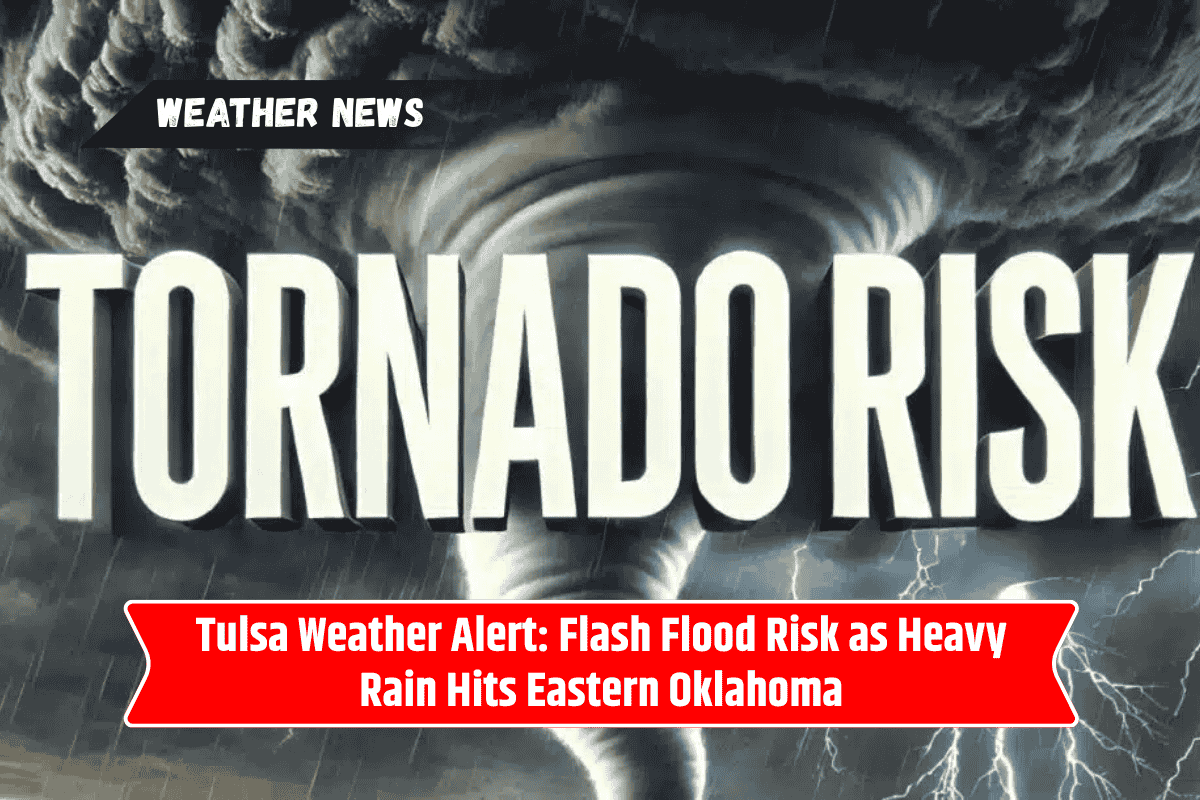
Tornado Threat Remains Low
While the main danger is flooding, forecasters say the tornado risk is not zero. Southeastern Oklahoma has the highest chance of seeing an isolated tornado, though the overall threat is low compared to heavy rain and damaging winds.
Travel and Safety Concerns
Drivers are strongly advised to avoid flooded roadways, as even shallow water can sweep away vehicles. Low-lying creeks, streams, and rivers are expected to rise quickly, leading to dangerous travel conditions.
Officials urge residents to stay alert, have multiple ways to receive weather warnings, and seek higher ground if flash flooding occurs.
Evening Outlook
Storms are expected to linger into tonight, keeping the flood risk elevated. Additional warnings may be issued as conditions evolve, so residents are encouraged to remain weather-aware throughout the evening.
Quick Forecast Snapshot for Eastern Oklahoma
| Location | Rainfall Potential | Storm Threats | Flooding Risk |
|---|---|---|---|
| Tulsa | 2–4 inches | Heavy rain, gusty winds | High |
| Bartlesville | 3–5 inches | Training storms | Very High |
| Fayetteville | 2–4 inches | Heavy rain | High |
| Muskogee | 1–3 inches | Strong winds, hail | Moderate |
| McAlester | 1–3 inches | Strong winds, hail | Moderate |
Eastern Oklahoma faces a dangerous day of weather, with widespread thunderstorms and heavy rain bringing significant flash flooding risks. Tulsa, Bartlesville, and Fayetteville are especially vulnerable, while areas farther south may see damaging winds and hail.
Although the tornado threat is low, residents should not let their guard down. Staying alert, avoiding flooded areas, and preparing for sudden weather changes will be crucial for staying safe through the evening.