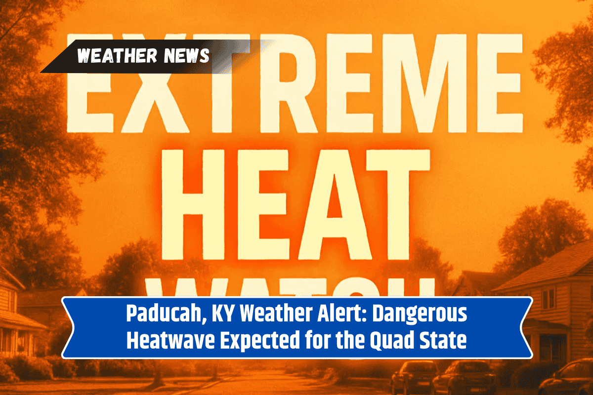
Paducah, KY – Western Kentucky and the surrounding Quad State area are about to experience a dangerous stretch of summer heat starting Friday, with afternoon heat index values expected to soar between 100 and 105°F each day through Tuesday.
The combination of high humidity and air temperatures in the upper 90s will make outdoor activities risky for extended periods.
Excessive Heat Expected Over the Weekend
According to the National Weather Service in Paducah, the hottest days will occur from Saturday to Monday, with highs nearing 99°F under mostly sunny skies and light winds.
Heat-related illness can develop rapidly, especially for those working or exercising outdoors. Residents are urged to limit strenuous activity to early mornings or evenings, stay hydrated, and check on vulnerable neighbors.
Thunderstorm Chances Before Relief
While Friday will focus mainly on heat, isolated thunderstorms are possible this afternoon before sunset, mainly affecting areas along the Ohio River. Another round of storms could develop Tuesday night into Wednesday, potentially offering brief relief from the oppressive heat.
Heatwave Extends Through Midweek
This prolonged heat event shows no signs of breaking before midweek, so precautions should remain in place. More heat advisories may be issued if humidity levels climb further.
Five-Day Forecast for Paducah, KY
Friday: Sunny and hot, high 96°F, low 73°F
Saturday: Hot and sunny, high 98°F, low 74°F
Sunday: Mostly sunny, high 99°F, low 75°F
Monday: Mostly clear, high 99°F, low 75°F
Tuesday: Sunny and hot, high 99°F, chance of storms late, low 73°F
Stay safe during this extreme heat and humid conditions by following recommended safety tips and watching for any additional heat advisories or storm alerts.