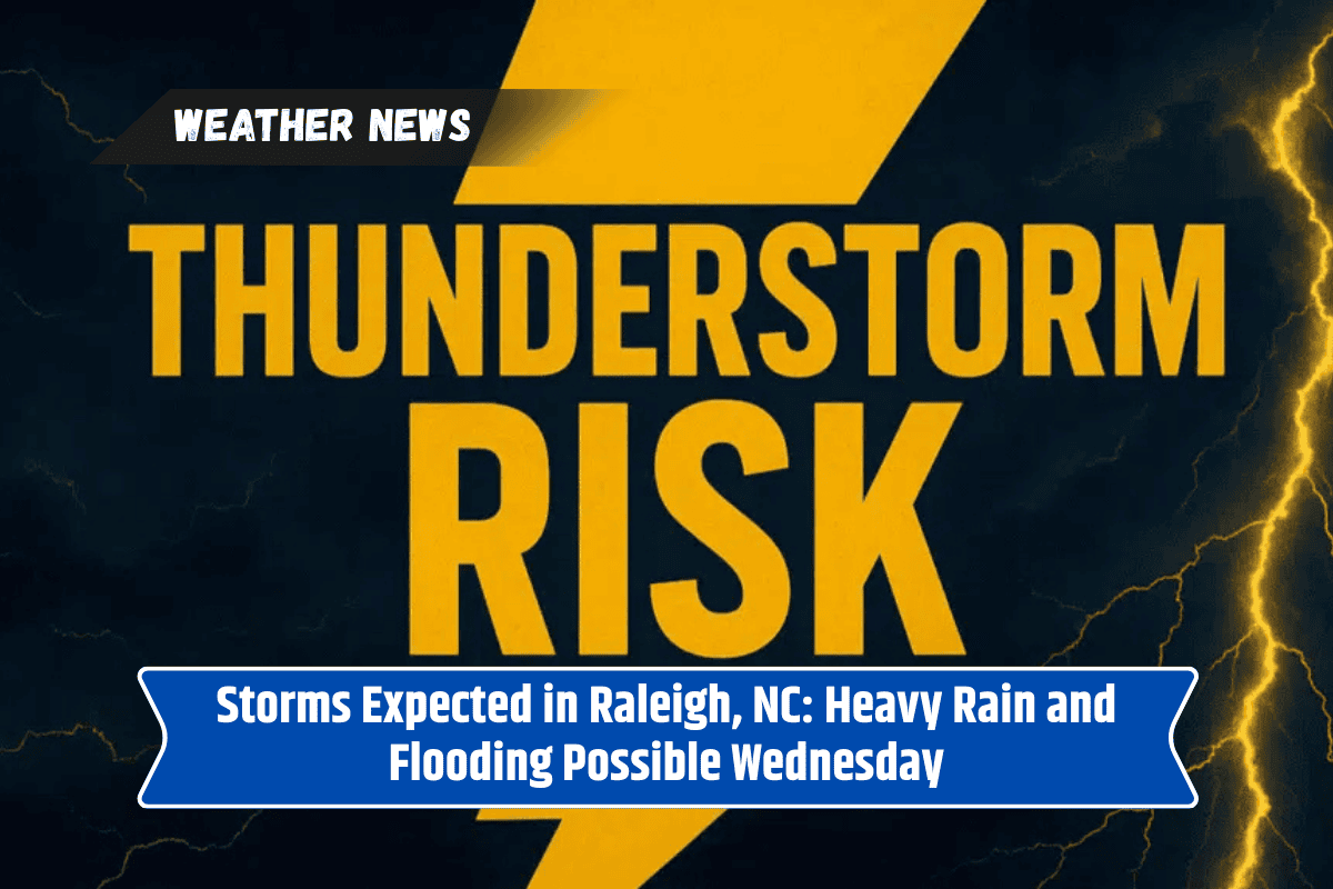
Raleigh, NC, is bracing for strong storms on Wednesday, with a significant risk of heavy rain and localized flooding across central North Carolina.
Areas from Wake County to Durham, Orange, and Johnston counties are expected to experience downpours throughout the afternoon and evening, potentially affecting the evening commute. The National Weather Service has issued a marginal risk for excessive rainfall, highlighting the possibility of minor flooding in isolated areas.
Forecast and Travel Disruptions
The storms are expected to develop after late morning, with a 70% chance of rain by mid-afternoon. Heavier rainfall could lead to wet and slippery roads, creating slow travel conditions on major highways like I-40, I-85, and US-70.
Drivers should exercise caution, as conditions could worsen quickly. Rainfall amounts may exceed a quarter inch in some of the heaviest cells, adding to the risk of localized flooding.
Outdoor activities, including sports practices and back-to-school errands, may also be disrupted by the storms. The heavy rainfall will likely affect a wide area, including local parks and recreational spaces. Residents are urged to monitor local weather alerts for updates and to avoid driving on flooded roadways to prevent accidents.
Active Weather Pattern Continues Into Friday
While Wednesday’s storms are expected to have the highest impact, there will be additional showers and storms on Thursday and Friday.
The weather will remain active throughout the week, with stormy conditions expected to linger into Friday. However, drier weather is expected to return by the weekend, providing some relief after the rainy stretch.
Five-Day Forecast for Raleigh, NC:
Tuesday: Chance of showers and thunderstorms after 10 a.m. High 84°F, low 73°F.
Wednesday: Thunderstorms likely, heavy rain possible in the afternoon. High 85°F, low 73°F.
Thursday: Mostly sunny with a chance of storms in the afternoon. High 89°F, low 73°F.
Friday: Chance of thunderstorms, partly cloudy overnight. High 90°F, low 73°F.
Saturday: Slight chance of storms early, then partly sunny. High 89°F, low 70°F.
Stay Prepared for Active Weather
As stormy conditions continue into the middle of the week, it is important for residents to stay informed and prepared.
Keep an eye on local weather alerts, and plan for potential disruptions, especially if you have outdoor events or travel plans on Wednesday afternoon. The return of drier weather over the weekend should offer a welcome break after this round of storms.