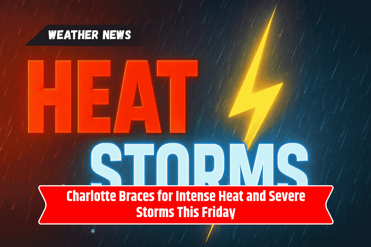
Residents of Charlotte, North Carolina, are facing a tough weather day this Friday, with extreme heat and the threat of strong storms expected to last through the night.
The National Weather Service has warned that the heat index may reach up to 105°F, and severe thunderstorms could bring heavy rain, flash flooding, and damaging winds. It’s important for everyone in the area to take precautions and stay alert as conditions change.
Heat to Peak Friday Afternoon
Friday afternoon will bring the hottest conditions of the week to Charlotte and nearby areas. According to the National Weather Service in Greenville-Spartanburg, the heat will be most intense in the Charlotte Metro, South Carolina Upstate, and parts of northeast Georgia.
The combination of high humidity and rising temperatures will push the heat index above 100°F by midday, with actual temperatures reaching around 92°F.
Severe Storms Expected After 2 p.m.
After 2 p.m., thunderstorms are expected to form in and around Charlotte. Some of these storms could turn severe quickly, bringing strong wind gusts and heavy rain.
Urban and low-lying areas are especially at risk of flash flooding, particularly those that have already received heavy rainfall earlier in the week. Roads such as I-77 and I-85 could become hazardous during intense downpours, making travel dangerous.
Safety Tips for Residents
Residents are strongly advised to limit outdoor activity, especially during peak heat hours in the afternoon. If you must go outside, wear light clothing, stay hydrated, and take breaks in the shade or indoors.
In preparation for storms, it’s also wise to charge your electronic devices, avoid non-essential travel, and bring in or secure any loose outdoor items like furniture, grills, or decorations.
Travel Warnings and Flash Flood Risk
Flash flooding is one of the biggest concerns heading into Friday evening. As the ground is already saturated in some areas, even a short burst of heavy rain can cause water to quickly rise on roads and streets.
Drivers should avoid flooded roadways at all costs—just a few inches of moving water can sweep away a vehicle. Always remember the phrase: “Turn around, don’t drown.”
Weekend Outlook and What’s Ahead
The good news is that no hazardous weather is expected over the weekend. Conditions should improve Saturday and Sunday, giving residents a much-needed break from the extreme weather.
However, more storm chances are forecast for early next week, so it’s a good idea to stay updated with local weather reports and be ready for changing conditions.
Charlotte is in for a challenging Friday with both extreme heat and severe storms expected to hit the region. With heat index values over 100°F and the chance of damaging winds and flooding rain, residents should take all necessary precautions.
Stay hydrated, remain indoors if possible, and be prepared for sudden weather changes. The weekend offers some relief, but storm risks will return next week, so stay informed and stay safe.