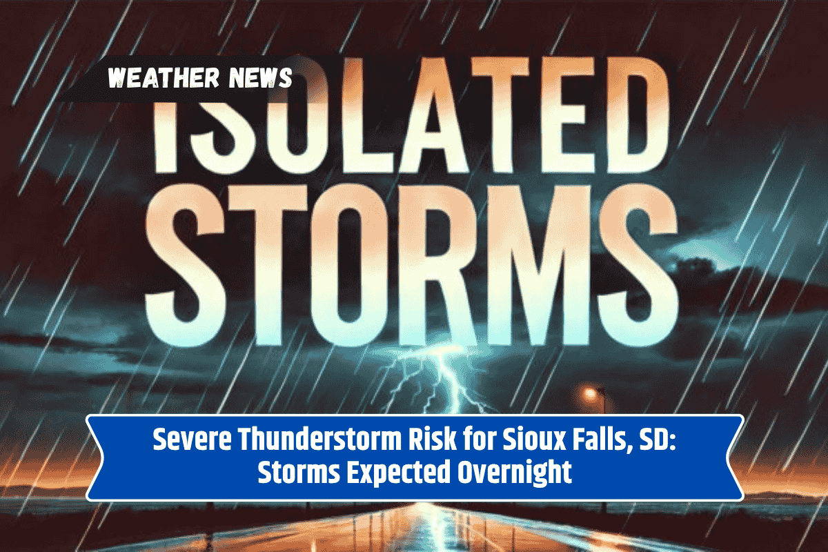
Sioux Falls, SD – South Dakota is facing the threat of scattered thunderstorms over the next few days, with some storms potentially becoming severe. The National Weather Service (NWS) predicts that the best chances for these storms will occur overnight into the early morning hours, with some areas at higher risk for intense weather.
Thunderstorm Risk and Affected Areas
Today, a level 1 risk has been issued for isolated severe storms, particularly impacting central and southeastern South Dakota. Areas from Sioux Falls to Mitchell are expected to see the highest likelihood of thunderstorms, while the western part of the state faces a level 2 risk for more intense storms.
While the exact timing and locations of these storms remain uncertain, residents should stay alert, particularly during the overnight hours.
Travel and Safety Concerns
These thunderstorms could bring heavy rainfall, gusty winds, and hail, which may lead to localized flooding on roadways. Travelers are advised to drive with caution and avoid driving through areas experiencing heavy rain.
Strong winds may also cause damage, potentially downing trees or power lines, which could result in power outages.
What to Expect in the Coming Days
The storm risk will continue into Monday and Tuesday, with the highest chances for severe weather still expected during the nighttime hours. As the week progresses, weather conditions may improve, but for now, it is important to stay updated on local weather alerts and advisories.
Sioux Falls and surrounding areas are at risk for scattered thunderstorms that could become severe, especially overnight. Storms may bring heavy rain, strong winds, and hail, which could lead to flooding and power outages. Stay informed about local weather conditions and be prepared for possible storm-related disruptions.