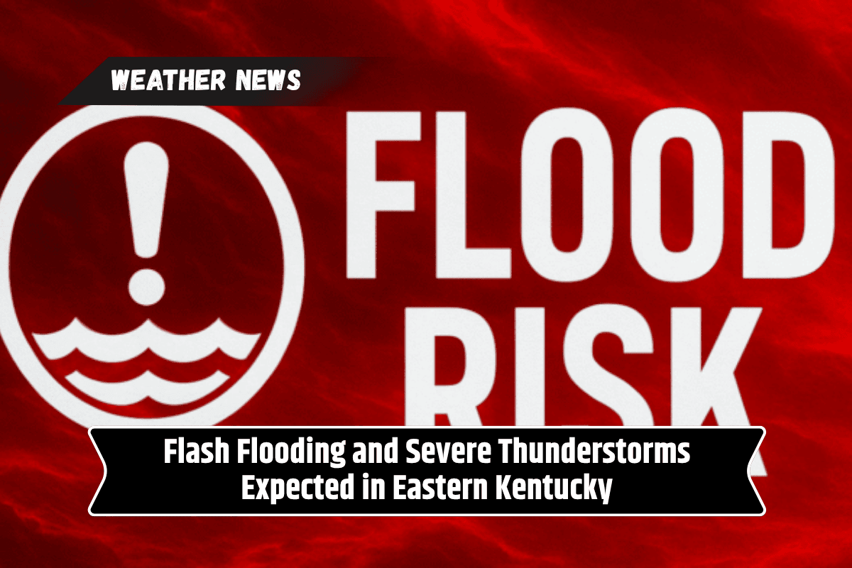
Residents in eastern Kentucky are being urged to prepare for the possibility of flash flooding and isolated severe thunderstorms as heavy rainfall moves through the region.
The National Weather Service in Jackson, Kentucky, has issued a warning for excessive rainfall and a Marginal Risk for severe thunderstorms through early Sunday morning, with the heaviest rain expected through Saturday evening.
Heavy Rainfall and Flash Flooding Risk
Eastern Kentucky is expected to experience rounds of heavy rainfall, particularly in areas that will see repeated showers and storms on Saturday. The increased rainfall could lead to quick rises in creeks and streams, putting low-lying areas at risk of flash flooding.
Roads that are typically prone to flooding, such as U.S. Highway 23, KY Route 15, and local streets, may become impassable, posing a danger to drivers.
The National Weather Service warns that there could be significant rainfall amounts over the next few days, which could rapidly overwhelm drainage systems and cause flooding in flood-prone areas.
Severe Thunderstorms and Damaging Winds
A Marginal Risk for severe thunderstorms is in effect through Saturday morning, with the main concern being strong to damaging wind gusts. These storms could produce winds capable of downing trees and power lines, as well as causing dangerous driving conditions due to heavy rain and poor visibility.
Residents should remain alert for any changes in the weather and be ready to seek shelter if storms intensify.
Precautionary Measures for Residents
As storms move through the area, residents are advised to:
Secure outdoor furniture: Bring in or secure any items that could be blown away by strong winds.
Charge electronic devices: Ensure phones and other essential devices are fully charged, in case of power outages.
Avoid flooded roads: Do not attempt to drive through flooded areas, as roads may be dangerous or impassable.
Stay informed: Keep track of weather updates and flood warnings, especially if you live near rivers, streams, or other flood-prone areas.
History of Spring Flooding in the Region
The current weather pattern is reminiscent of the heavy rainfall events that caused localized flash flooding in eastern Kentucky during the spring of 2024. With similar conditions expected, residents are advised to be extra cautious, as these storms can rapidly cause dangerous flooding conditions.
Stay Alert Through the Weekend
Conditions are expected to remain active through Saturday evening, with more rain and possible severe weather, so residents should remain vigilant. The National Weather Service may issue additional flood advisories or weather alerts as the situation evolves.
Eastern Kentucky residents should prepare for the possibility of flash flooding and severe thunderstorms over the weekend. With heavy rain and the risk of damaging winds, it’s essential to stay informed and follow safety precautions to avoid danger.
Keep an eye on weather updates and take action as necessary to protect yourself, your family, and your property.