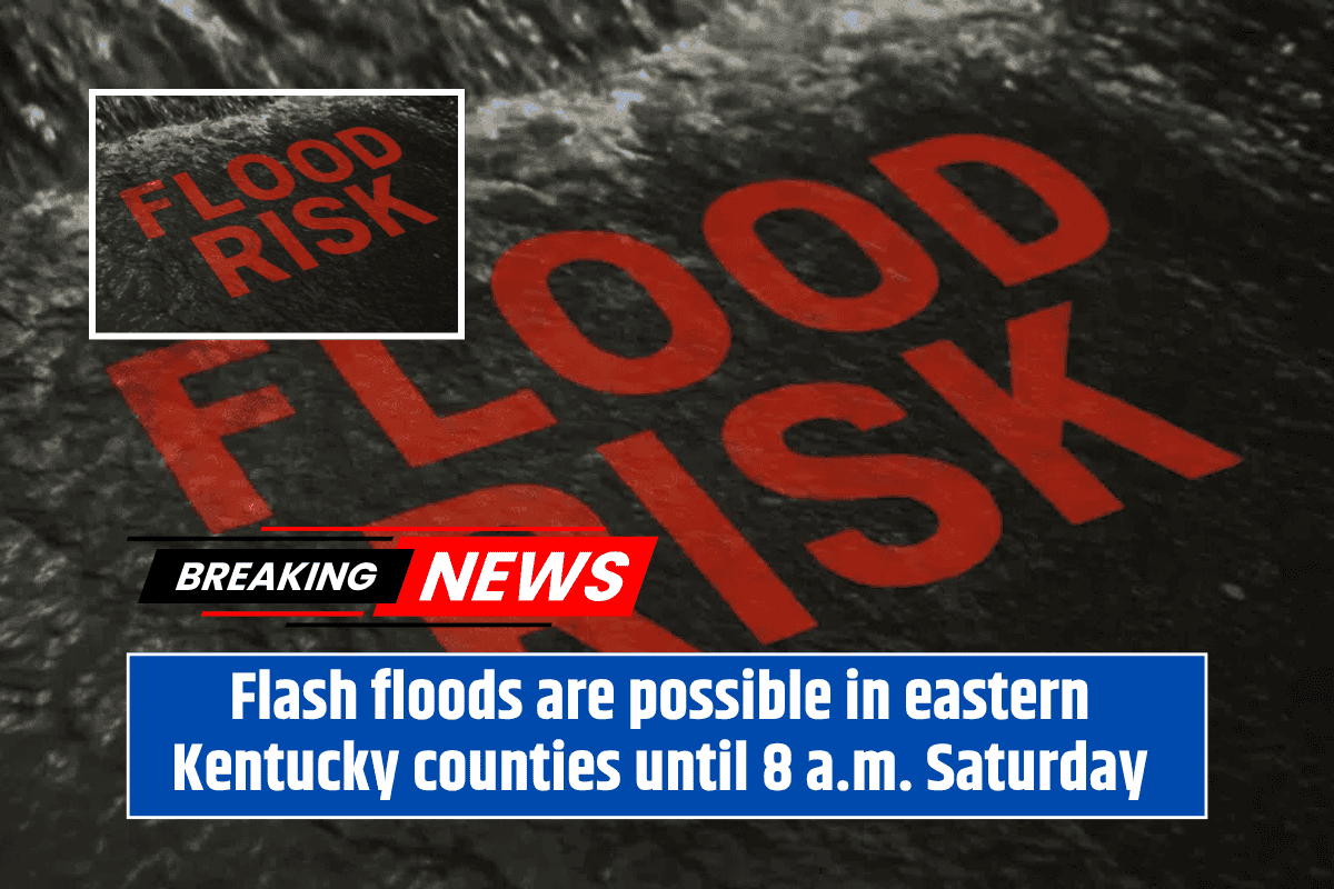
Eastern Kentucky residents are being warned to stay vigilant as heavy rainfall continues overnight, bringing the risk of flooding to roads and creeks. As of Friday evening, the National Weather Service (NWS) in Jackson has issued a Slight Risk for excessive rainfall, which will remain in effect until 8 a.m. Saturday, June 7. Repeated rounds of heavy rain and thunderstorms could lead to flash flooding, particularly in areas where the ground is already saturated.
Where is the Flooding Risk the Highest?
The counties most at risk include Pike, Floyd, Perry, and Breathitt, with the potential for localized flooding, especially near low-lying roads and small creeks. While the threat of severe thunderstorms has decreased, flash flooding remains a concern in these areas, particularly in spots that were hit by heavy rain on Friday.
What Should You Do to Stay Safe?
Residents are urged to avoid driving through flooded roads, as even a few inches of water can be dangerous. If you live near low-lying areas or creeks, be prepared to move to higher ground if conditions worsen. It’s also important to keep your phone charged so you can receive weather alerts throughout the night. Staying alert to changing conditions is key, as flash flooding can occur quickly.
What’s Next for Eastern Kentucky’s Weather?
This weather system is expected to evolve overnight, and the NWS will provide updated rainfall outlooks early on Saturday morning. Residents are advised to stay weather-aware and prepared for the possibility of rapidly changing conditions, as the region may experience more heavy rainfall before the system moves out.