Severe thunderstorms could develop east of I-35 on Wednesday afternoon, particularly after 3 p.m., bringing the risk of strong winds and brief heavy rainfall to central and eastern Missouri.
Severe Weather and Flooding Risks on Thursday
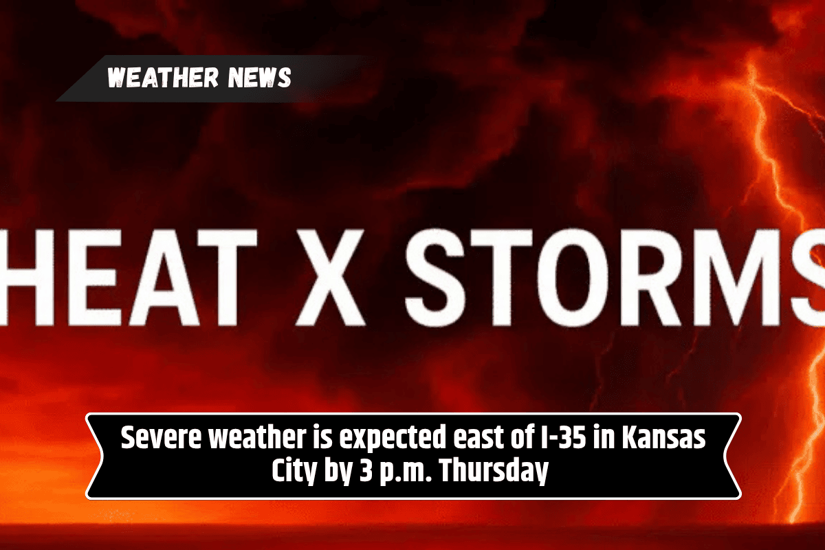
According to the National Weather Service, the main threat of severe weather will hit on Thursday afternoon and evening. The storms could bring flash flooding, along with wind gusts over 50 mph. Areas between Columbia, Hannibal, and Rolla are expected to be at the highest risk.
Hot and Humid Conditions Across Missouri
The weather will remain hot and humid, with the heat index reaching the upper 90s and low 100s throughout the week. This makes it essential for residents in Kansas City, Sedalia, and Jefferson City to stay cool, especially during the hottest parts of the day. It’s important to keep hydrated and take necessary precautions when outdoors.
Road Conditions and Safety Precautions
Travelers on I-70 and US-63 should be alert for reduced visibility during storms and may face wet roads due to ponding. Wind damage may cause power outages, and anyone with outdoor plans or traveling should stay updated on weather alerts and avoid flooded areas.
More Storms Possible Later in the Week
As the week continues, more thunderstorms are likely, though the chances may decrease by Friday. Storm chances are expected to rise again over the weekend.
Warnings remain in place until Thursday night, with another weather update expected on Thursday morning. Be prepared and stay informed.