The Northland is bracing for a round of heavy rain and thunderstorms starting Wednesday morning, with the heaviest rainfall expected to hit northwestern Wisconsin through Thursday night.
The National Weather Service in Duluth has issued warnings, as the region faces the potential for localized flooding due to significant rain totals.
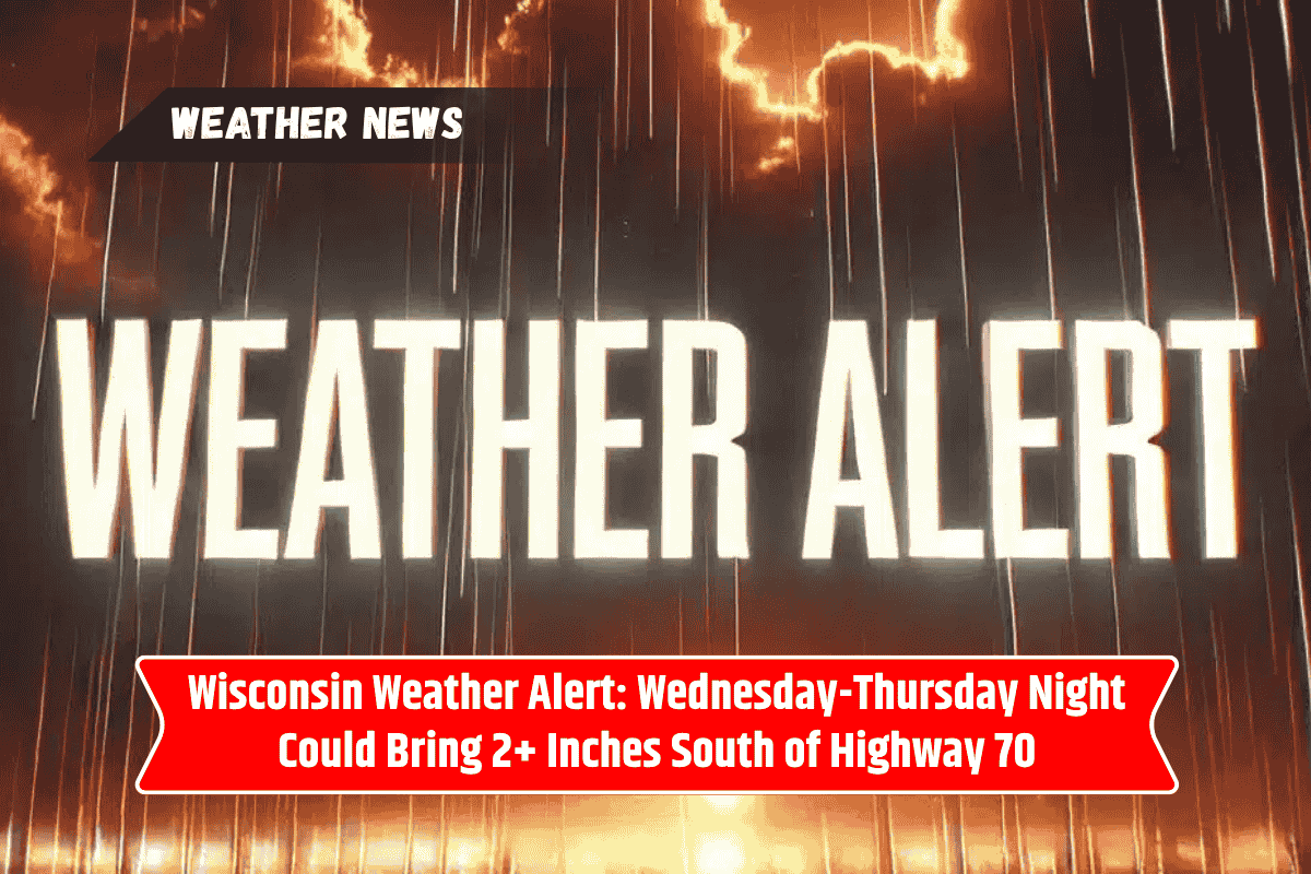
Rainfall Forecast and Flooding Risk
The rain will begin on Wednesday morning and continue through Thursday night, with areas south of Wisconsin Highway 77 expected to receive 1 to 2 inches of rain.
There is a 60% to 80% probability of seeing 2+ inches of rainfall south of Highway 70, particularly around Spooner, Hayward, and Prentice. These areas are at risk for ponding water and minor flooding, particularly in low-lying regions.
Communities like Solon Springs, Ashland, and Park Falls could experience 1-inch rainfall probabilities ranging from 30% to 69%, while Pine City and Sandstone in Minnesota are also in the forecast zone for significant rainfall.
The intensity of the storms may lead to impaired travel along regional highways, and motorists are advised to use caution.
Safety Tips for Residents
Clear drains: Make sure storm drains and gutters are free of debris to prevent water from backing up.
Avoid driving through water-covered roads: If you come across flooded roadways, do not attempt to cross. It only takes a small amount of water to cause vehicles to lose control.
Secure outdoor belongings: High winds associated with the thunderstorms could cause damage to unsecured items outside.
Outlook for the Week
After the rain clears briefly on Friday, the region will face a slight chance of showers. However, rain chances will increase again starting Saturday afternoon and extend into Sunday, bringing another round of storms that could potentially be strong to severe.
Warnings will remain in effect through Thursday night, and the National Weather Service is expected to issue updates on Wednesday morning to refine the forecast.
Five-Day Forecast for Northland Region (June 24–28):
Tuesday: Mostly dry with highs in the 70s.
Wednesday: Showers and thunderstorms developing early, with a 60–75% chance of rain by the afternoon.
Thursday: Rain continues, with localized heavy rainfall and minor flooding possible.
Friday: Partly sunny with a slight chance of showers.
Saturday–Sunday: Increasing storm risk, particularly in the afternoon and evening hours.
As rain and thunderstorms set in for the Northland, residents in northwestern Wisconsin and parts of Minnesota are urged to stay informed and take safety precautions.
The potential for localized flooding, travel disruptions, and strong storms later in the week means everyone should stay weather-aware over the coming days.