Orlando, Florida, is facing another round of scattered thunderstorms and hot, humid conditions on Tuesday, June 24. Temperatures will reach a high of 94°F, with brief downpours and lightning expected between 2 and 5 p.m.
The storms are likely to disrupt the afternoon commute, particularly for drivers along I-4 and residents in Orange and Seminole counties. If you’re in the area, it’s important to stay aware of the weather as these storms develop.
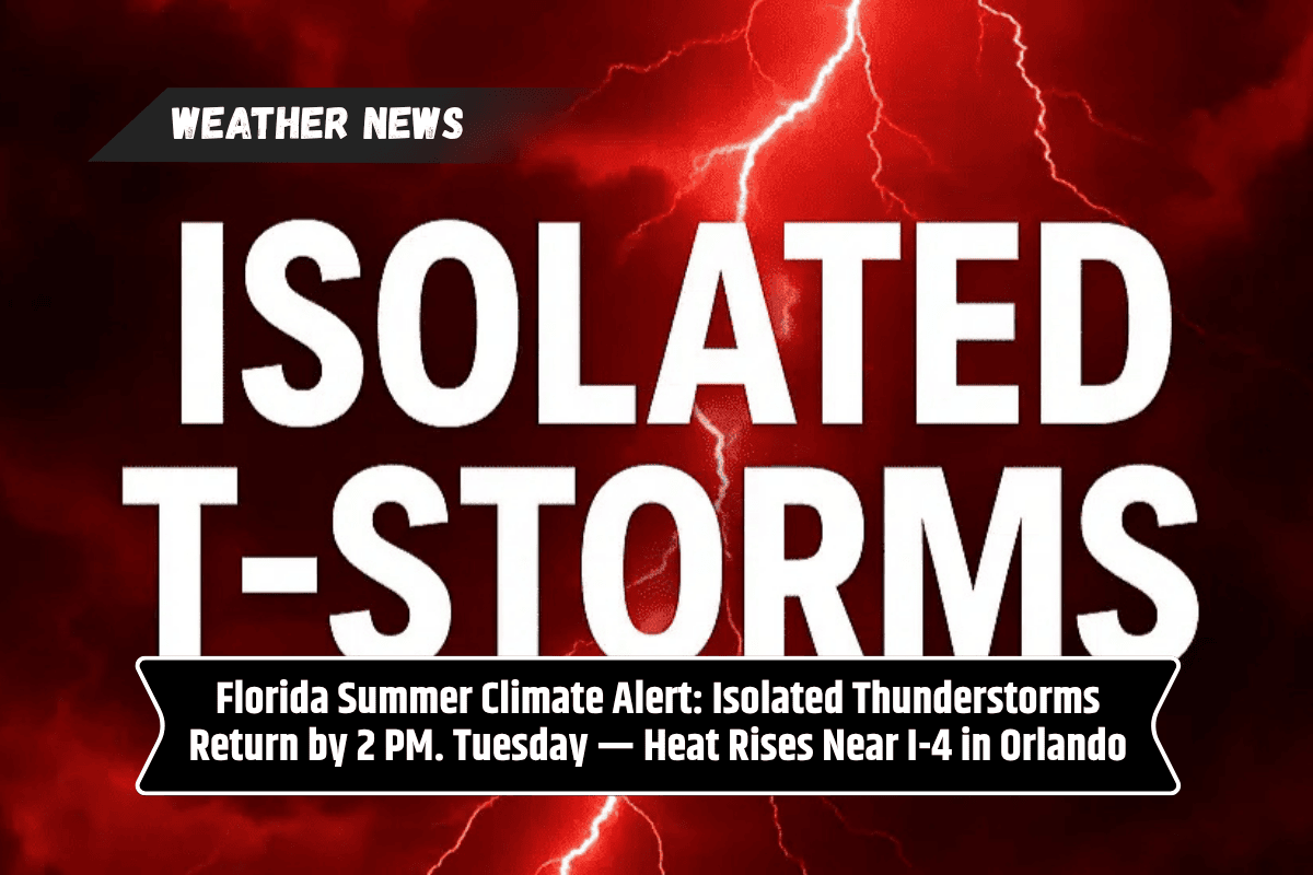
Thunderstorm Timing and Impact
The National Weather Service in Melbourne has forecast that scattered storms will develop after 2 p.m. on Tuesday, driven by the combination of hot temperatures and humid conditions.
Although these storms are not expected to be severe, lightning and localized flooding could pose risks, especially in low-lying areas. Winds will shift to 5–15 mph, providing some relief but also pushing the storms further inland.
For drivers on I-4 and others traveling through Orange and Seminole counties, expect brief disruptions due to rain and reduced visibility. If you have outdoor plans, be prepared for possible delays and take necessary precautions to stay safe.
Weather Forecast for the Rest of the Week
After the storms clear on Tuesday night, temperatures will drop to a low of 75°F. The rest of the week will continue the pattern of hot and humid conditions, with additional rounds of storms expected. Here’s a breakdown of the weather in Orlando for the next few days:
Monday, June 23: High of 93°F, with a 30% chance of storms between 1–4 p.m..
Tuesday, June 24: High of 94°F, with a 20% chance of storms after 2 p.m. Expect breezy conditions.
Wednesday, June 25: High of 93°F, with a 40% chance of storms after 11 a.m..
Thursday, June 26: High of 93°F, with a 60% chance of storms after 2 p.m..
Friday, June 27: High of 92°F, with a 60% chance of storms, primarily after 2 p.m..
Orlando will experience scattered thunderstorms and high temperatures on Tuesday, June 24, with a 94°F high and a 20% chance of storms after 2 p.m. Expect brief downpours, lightning, and localized flooding in some areas, especially during the afternoon commute.
Drivers on I-4 and others in Orange and Seminole counties should plan for possible disruptions. The stormy and steamy weather pattern will continue through the rest of the week, with a higher chance of thunderstorms on Wednesday, Thursday, and Friday.