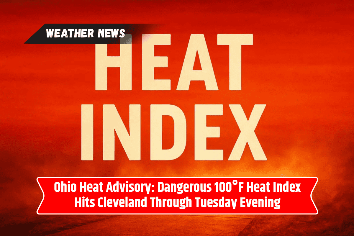
Northeast Ohio is in for a sweltering weekend with extreme heat and high humidity, lasting until Tuesday evening. The National Weather Service has issued a Heat Advisory for much of the region, with heat indices potentially climbing to 104°F in some areas.
This dangerous heat poses risks for outdoor workers, athletes, and vulnerable residents.
Heat Advisory Details and Impacts
The Heat Advisory in Cleveland and surrounding areas begins at noon on Sunday and will remain in effect until 8 p.m. on Tuesday. The region will experience highs in the upper 90s, with a heat index making it feel even hotter, especially in Cuyahoga, Summit, Stark, and nearby counties.
Even during the night, temperatures will remain in the 70s, offering little relief. This persistent heat increases the chances of heat-related illnesses, including heat exhaustion and heat stroke.
The Hottest Day is Monday
Monday is expected to be the hottest day of the heatwave, with heat indices ranging from 98°F to 104°F across Cleveland, Akron, and Mansfield. While the weekend will be mostly dry and sunny, outdoor workers and athletes, as well as elderly individuals, should take extra precautions in the extreme conditions.
The high temperatures and humidity will make it feel like a much hotter day than the actual air temperature.
Precautions to Take During the Heatwave
Residents are urged to stay hydrated by drinking plenty of water and to limit outdoor activities, especially during the hottest parts of the day.
Vulnerable groups, including the elderly, are advised to stay in air-conditioned spaces and check on neighbors who may not have access to air conditioning. If possible, try to stay indoors during the peak heat to avoid health risks.
Potential Thunderstorms and Slight Relief on the Horizon
Although the heat will remain intense through Tuesday, the chance of thunderstorms increases on Tuesday afternoon and may intensify by Wednesday.
These storms could offer some relief from the oppressive heat, but they might also bring heavy rainfall and gusty winds. The heat advisory may continue into the middle of the week if temperatures remain dangerously high.
Ohio Five-Day Forecast:
Saturday: Highs between 85–92°F; Heat Index: 88–98°F; Chance of morning storms
Sunday: Highs between 89–97°F; Heat Index: 98–104°F; Sunny and hot
Monday: Highs between 90–97°F; Heat Index: 98–103°F; Dry and extremely hot
Tuesday: Highs between 88–95°F; Heat Index: 95–101°F; Isolated thunderstorms in the afternoon
Wednesday: Highs between 85–93°F; Increased storm risk; Heat Index near 99°F
With scorching temperatures and high humidity expected through Tuesday evening, it’s essential for residents of Northeast Ohio to stay informed and take steps to protect themselves from the extreme heat.
Hydrate often, limit time outdoors, and check on neighbors who may be at risk of heat-related illnesses. Relief may come later in the week, but until then, stay safe in these dangerous conditions.