The last 24 hours have been particularly active in North Texas, with reports of 72 mph winds and hail the size of hen eggs. This caused significant damage to many people in Collin and Denton counties.
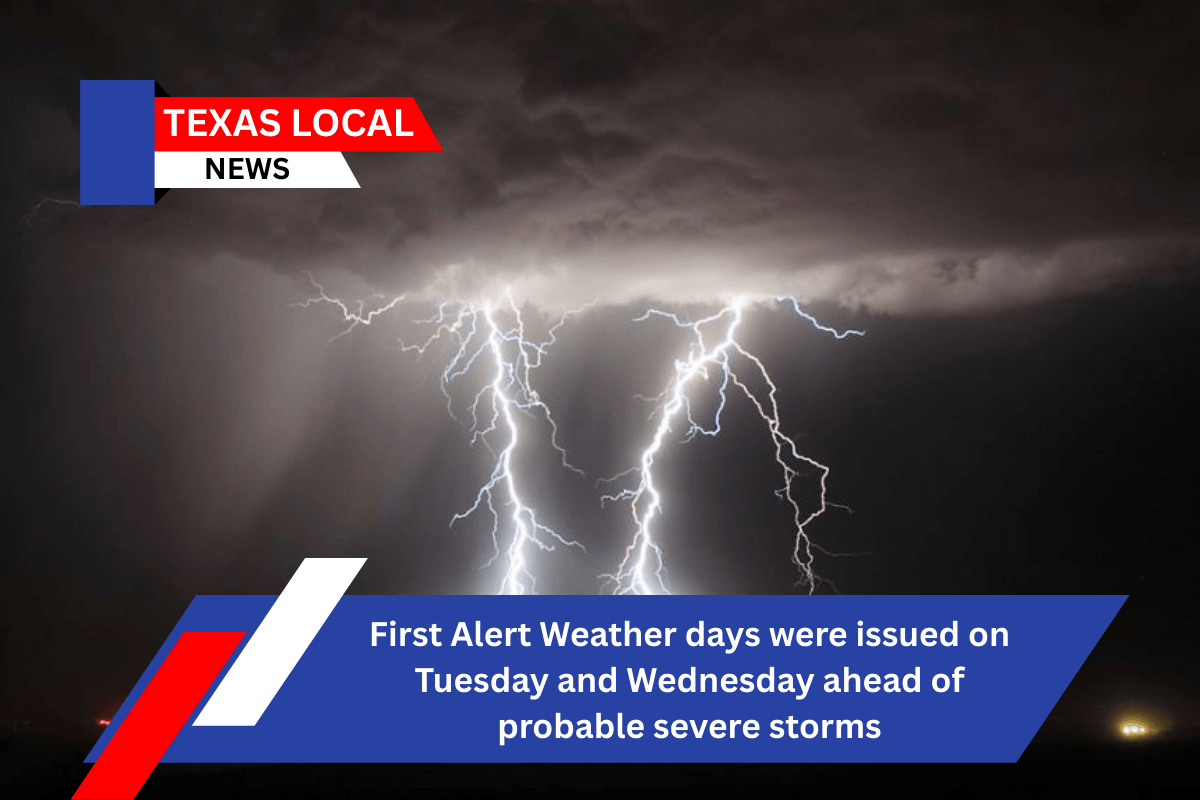
The next large front bringing severe weather and heavy rain is on its way. The First Alert Weather Team is tracking a cold front that will meet with plenty of rain and instability Tuesday evening and Wednesday morning. This will increase the risk of severe weather and heavy rain, which might lead to floods.
Severe weather threat resumes Tuesday and Wednesday
As of today, the Storm Prediction Center has designated a level 2 out of 5 hazard for northeastern counties and a level 1 out of 5 for isolated severe storms in the rest of North Texas. All types of severe weather will be possible, including huge hail, damaging winds, flooding, and perhaps an isolated tornado.
Now is the time to prepare and have a secure spot for family members and pets to relocate in case of severe weather in your area.
Tuesday’s highs will reach the upper 90s, with a heat index in the triple digits. During the day, there will be sunshine, but when the front goes through in the evening, storms will appear.
The good news is that Wednesday’s high temperatures will be significantly cooler, in the 80s. The pleasant fall weather will continue over the weekend, making it an ideal time to visit the State Fair.