Scattered showers are making their way across Virginia this week, bringing wet roads, slower traffic, and cooler temperatures in many areas. While some regions will see heavy downpours, others may remain mostly dry. Here’s a closer look at what to expect.
Rainfall Concentrates in Eastern Virginia
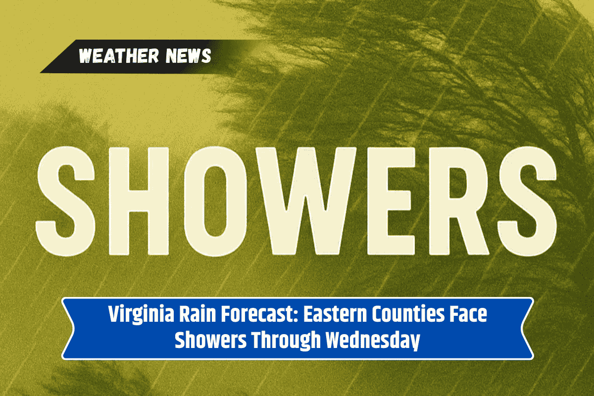
The eastern side of Virginia will receive the most rainfall, with totals ranging from 0.5 to 1 inch. Cities such as Lynchburg, Danville, and South Boston are expected to see wet conditions, with drivers along Route 58 needing to be extra careful.
Lighter Showers in the West
In contrast, areas west of the Blue Ridge, including Wytheville and Bristol, may see little or no rain at all. Western counties like Grayson, Smyth, and Giles should stay mostly dry, though cloudy skies will keep the temperatures cooler than usual.
Impact on Travel Routes
Some of Virginia’s busiest highways could face delays due to wet weather:
I-81 near Roanoke may experience slowdowns during evening commutes.
I-64 closer to Charlottesville could also see travel delays due to heavier downpours.
Standing water in low-lying areas may make driving more risky.
The National Weather Service is urging motorists to give themselves extra travel time and avoid driving through water-covered roads.
Weather Outlook for Midweek
The unsettled weather is likely to continue through Wednesday before conditions improve. By Thursday, drier air is expected to spread across the state, bringing a break from the showers.
Virginia’s midweek weather is shaping up to be a mixed bag, with heavy rain in the east, cloudy skies in the west, and travel slowdowns in between. While the showers won’t last too long, drivers should stay alert on wet roads and plan for possible delays. The good news is that clearer skies are on the way by late Wednesday into Thursday.