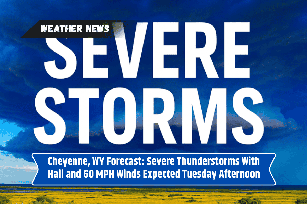
Residents in southeastern Wyoming and parts of western Nebraska should prepare for a stormy Tuesday afternoon and evening. The National Weather Service has warned that strong thunderstorms could bring hail, heavy rain, and dangerous winds, especially between 3 p.m. and 9 p.m.
What to Expect from the Storms
The storms are expected to be widespread, with several rounds moving across the region. Key threats include:
Hail as large as two inches in diameter
Wind gusts reaching up to 60 miles per hour
Heavy rainfall that could lead to flash flooding in low-lying areas
Areas at Highest Risk
Communities most at risk of severe weather include:
Cheyenne, Laramie, Torrington, and Wheatland in Wyoming
Scottsbluff, Sidney, and Alliance in western Nebraska
Highways and interstates may also be affected, especially:
Interstate 80
Highway 85
Drivers should be cautious as reduced visibility and slippery roads may create dangerous travel conditions.
Safety Measures for Residents
Officials are urging people in the affected areas to take precautions, such as:
Securing outdoor furniture and items that could blow away
Staying indoors once thunder is heard
Avoiding unnecessary travel during storm activity
Power outages are also possible where storms are strongest, so residents should be prepared with flashlights, charged devices, and backup power if available.
Evening and Overnight Outlook
The National Weather Service warns that storm activity could continue into the night. Residents should remain alert for updated advisories and warnings if conditions worsen.
Severe thunderstorms pose a serious risk across southeastern Wyoming and western Nebraska this Tuesday, with hail, damaging winds, and heavy rainfall all possible. Staying weather-aware, limiting travel, and taking simple precautions can help keep families safe until the storms pass.