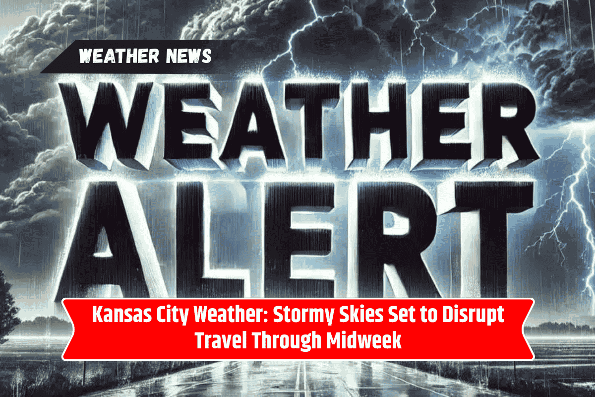
Kansas City residents should brace for changing weather conditions this week, as afternoon storms are expected to roll in by Tuesday. The National Weather Service warns that downpours and lightning could impact both road and air travel, especially during the evening commute.
With scattered storms continuing through Thursday, it’s a good time to stay weather-aware and flexible with your plans.
Storms Arrive Tuesday Afternoon
The day will start off mostly sunny, with a high near 92°F. But by early afternoon—around 1 p.m.—scattered thunderstorms are expected to develop across the metro area. These storms could bring:
Heavy rainfall
Lightning strikes
Reduced visibility
Slow-moving traffic, especially on I-70 and I-35
Drivers should plan for longer commute times, especially during the evening rush. Avoid driving through flooded underpasses, and stay tuned to weather updates before heading out.
KCATA Transit and Airport Travel May Be Affected
If you rely on public transit, expect possible delays on Kansas City Area Transportation Authority (KCATA) bus routes, particularly during stormy conditions. Likewise, travelers flying out of Kansas City International Airport should check with their airlines, as scattered storms could lead to:
Flight delays
Temporary ground stops
Gate changes or cancellations
Wednesday and Thursday: Wet Weather Continues
The chance of rain increases sharply by Wednesday, with a 50% likelihood of showers during the day and up to 70% overnight. While severe weather isn’t guaranteed, repeated rainfall could lead to minor flooding in low-lying areas and additional travel slowdowns.
Thursday brings more of the same, with cooler temperatures (around 79°F) and lingering showers or isolated storms.
Weekend Weather Brings Relief
By Friday, skies are expected to clear, with sunshine returning and highs in the upper 70s. This marks the beginning of a more comfortable weekend, making it a great time to plan outdoor activities—just hold off until the damp weather clears.
Kansas City 5-Day Weather Forecast
| Day | Forecast Summary | High Temp | Low Temp | Rain Chance |
|---|---|---|---|---|
| Tuesday | Mostly sunny early, storms after 1 p.m. | 92°F | 68°F | 40% |
| Wednesday | Showers and storms likely | 87°F | 65°F | 50–70% |
| Thursday | Scattered showers, cooler | 79°F | 61°F | 40% |
| Friday | Mostly sunny and pleasant | 78°F | 60°F | 0% |
| Saturday | Sunny, mild temperatures | 80°F | 62°F | 0% |
Travel and Safety Tips for Stormy Weather
Driving: Slow down in heavy rain, use headlights, and avoid sudden braking.
Flooding: Never drive through water-covered roads—turn around, don’t drown.
Transit: Check KCATA updates for route delays or detours.
Air Travel: Monitor your flight status and arrive early to the airport.
Power Outages: Keep devices charged and flashlights ready in case of brief outages.
Kansas City’s weather will take a stormy turn starting Tuesday afternoon, with scattered showers and thunderstorms expected to disrupt travel and outdoor plans. The unsettled weather continues through Thursday before drier, cooler air moves in by Friday.
With lightning and heavy rainfall in the forecast, it’s best to plan ahead, stay cautious during commutes, and check for updates from local authorities. By the weekend, however, you’ll be able to enjoy clearer skies and more comfortable conditions.