Washington, DC – Dry and warm conditions will persist through Monday across the Washington, DC, Maryland, and northern Virginia region. However, forecasters are warning of a midweek shift as a coastal system approaches.
Coastal System to Bring Rainfall and Cooler Temperatures
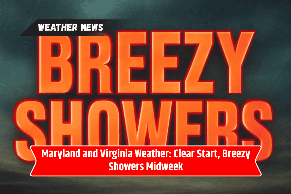
According to the National Weather Service Baltimore/Washington, a coastal low-pressure system will move into the area from Tuesday into Wednesday, September 16–17. This system is expected to bring beneficial rainfall, cooler temperatures, and breezy conditions across both the mountains and lowland areas.
Forecast: Warm Weather Before the Shift
Forecast highs remain in the upper 70s to mid-80s Sunday and Monday, with lows generally in the mid-50s to 60s. Rain chances will increase Tuesday evening, with showers becoming more likely on Wednesday. Highs on Wednesday will drop into the upper 60s and low 70s, while mountain areas may experience lows in the lower 50s.
Conditions to Improve by Thursday
Conditions are expected to improve by Thursday, September 18, as drier weather gradually returns. By Friday, September 19, forecasters expect a rebound in warmth, with highs climbing into the low 80s across much of the region.
Travel and Outdoor Disruptions Expected
Residents in the DC metro area and surrounding counties are advised to plan for possible midweek travel delays and outdoor disruptions due to wet and breezy conditions.