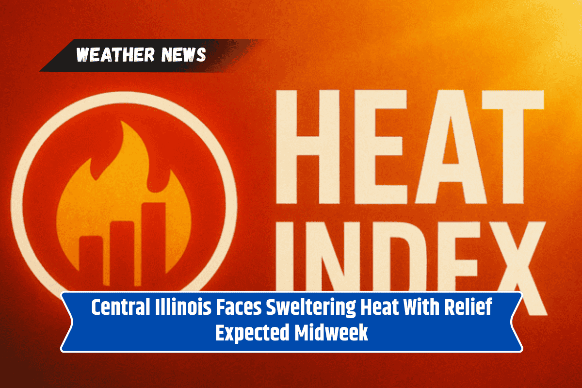
Springfield, IL – Residents across central Illinois are facing sweltering conditions today, with heat indices nearing 100 degrees, according to the National Weather Service. Forecasters warn that this unseasonably warm stretch will dominate the region through mid-week before a slight cool-down arrives.
High Temperatures and Limited Relief
The National Weather Service Central Illinois office reports that temperatures Sunday are expected to reach between 90 and 97 degrees, with the most intense heat occurring in the afternoon hours. While an isolated storm is possible in west-central Illinois today, dry and hot conditions will remain the main story through Wednesday.
No Break in the Heat Until Thursday
Highs Monday through Wednesday are forecast to be in the low-to-mid 90s, with little overnight relief. The warm pattern is expected to persist until Thursday, when temperatures will dip slightly into the mid-to-upper 80s.
Thursday also carries a 30 percent chance of showers and thunderstorms, offering the first significant break from the heat.
Warnings and Safety Tips for Residents
Meteorologists emphasize that while September typically brings more moderate conditions, this week’s forecast marks a continuation of unusually warm air across the region. Residents are advised to limit outdoor activity during the hottest parts of the day, stay hydrated, and check on vulnerable neighbors and pets.
Impact on Outdoor Activities
This extended heat wave coincides with the fall harvest season and various local events, raising concerns for both workers and families spending long hours outdoors.