If you’re driving around New York City this Sunday afternoon, be prepared for possible delays. A line of fast-moving thunderstorms could develop just as weekend traffic picks up, especially on I-95 and the FDR Drive.
While the rain chances aren’t very high, even brief downpours could make roads slick and visibility poor — making travel tricky for both commuters and weekend travellers.
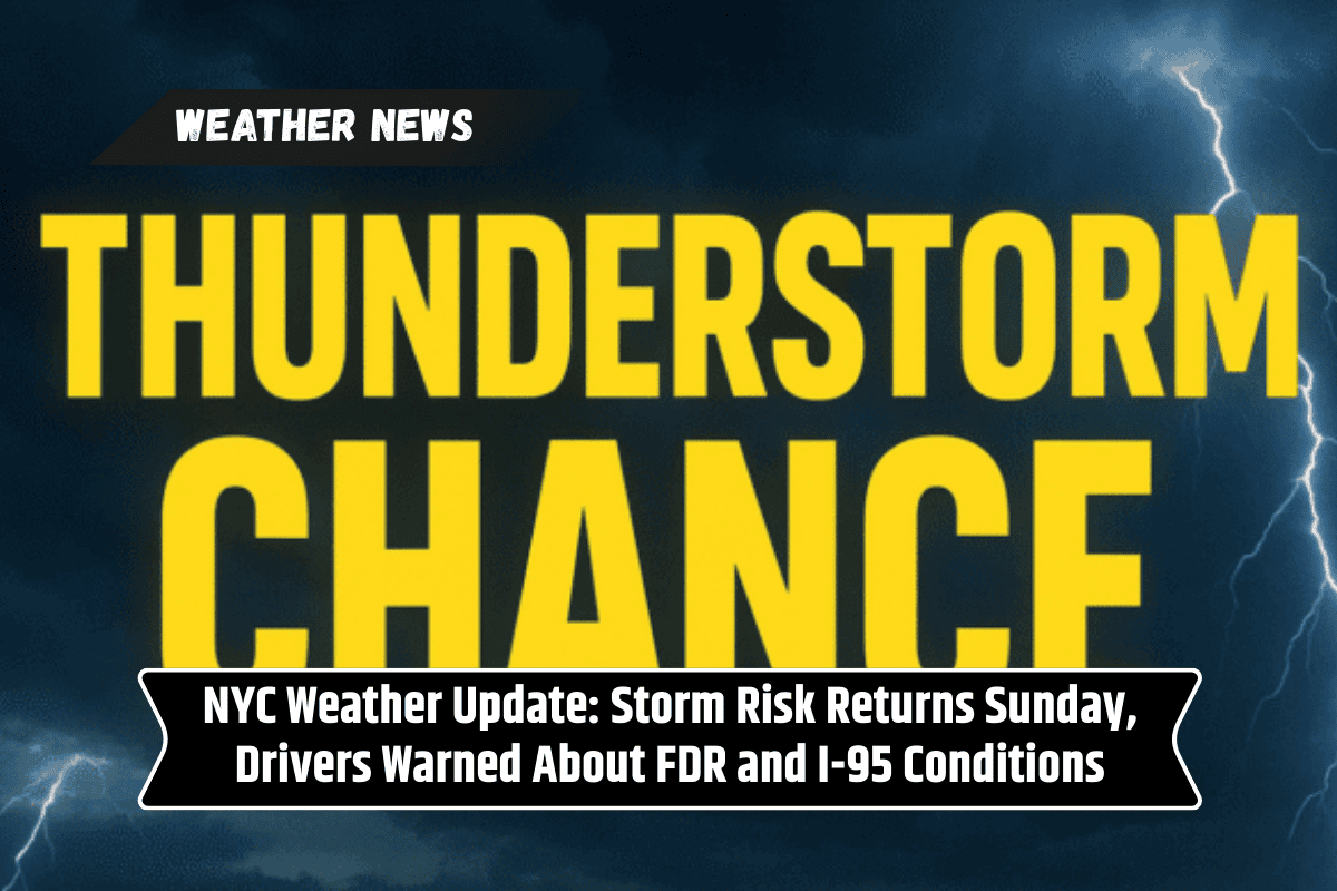
Chance of Thunderstorms Sunday Afternoon
According to the National Weather Service, there’s a 20% chance of thunderstorms developing after 2 p.m. on Sunday. While the highest risk is north of NYC, these storms can form quickly and may catch drivers and pedestrians off guard.
Here’s what to expect:
Temperatures near 79°F
Brief but heavy downpours
Reduced visibility during showers
Storms most likely in the late afternoon
If you have outdoor plans, it’s a good idea to stay weather-aware, check your apps, and be ready to reschedule or move indoors if needed.
Traffic Hazards on I-95 and FDR Drive
Popular roads like I-95 and the FDR Drive are likely to be affected the most if thunderstorms hit during peak travel hours. Authorities are advising drivers to:
Allow extra travel time
Avoid flooded intersections
Use headlights and drive slowly during rain
Check live traffic updates and weather alerts
Even a short storm can back up traffic quickly in the city. With wet roads and low visibility, accidents become more likely — so caution is key.
Better Weather Returns Monday and Tuesday
The good news is that the storm risk ends by Sunday night. Partly cloudy skies and lows around 66°F will make for a quiet night. By Monday, conditions improve with mostly sunny skies and a high near 77°F. Winds from the north will bring in a cooler, more refreshing feel during the day.
Tuesday brings slightly warmer weather, with highs near 80°F and plenty of sunshine. Overnight temperatures will stay mild in the mid-60s.
Midweek Outlook: Mild Weather, But More Rain Possible Thursday
The nice weather continues into Wednesday, with partly sunny skies and a comfortable high around 78°F. But by Thursday, there’s a 30% chance of showers as another fall system may move through the region.
Here’s a quick look at the 5-Day Forecast for New York, NY:
| Day | Forecast | High Temp |
|---|---|---|
| Sunday | Partly sunny, slight thunderstorm chance after 2 p.m. | 79°F |
| Monday | Mostly sunny | 77°F |
| Tuesday | Sunny and warm | 80°F |
| Wednesday | Partly sunny | 78°F |
| Thursday | 30% chance of showers, partly sunny | 83°F |
Stay Prepared for Changing Fall Weather
Although this Sunday’s storm chances are low, they can still cause trouble for unprepared drivers. NYC emergency officials recommend keeping your phone charged, following local alerts, and being ready to adjust plans if weather conditions change quickly.
As fall patterns settle in, quick swings in temperature and precipitation become more common. Another round of rain is possible later in the week, so staying alert is key to avoiding weather-related disruptions.
New Yorkers should be ready for scattered thunderstorms on Sunday afternoon, especially when driving on I-95 or FDR Drive during peak hours. Even though the chances of severe weather are low, sudden downpours could lead to slick roads and slow traffic.
Conditions will improve by Monday with sunny skies and mild temperatures, but another chance for rain arrives by Thursday. Stay weather-aware and drive safe.