South Florida drivers should prepare for stormy and wet conditions this Sunday, as repeated rounds of thunderstorms and heavy rainfall move across the Miami metro area.
Local authorities are urging caution, especially on major roads like I-95, U.S. 1, and smaller neighborhood streets, which may flood quickly during downpours.
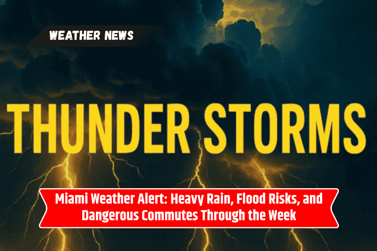
Widespread Storms and Flooding Expected Sunday
The National Weather Service reports a 70% chance of thunderstorms on Sunday afternoon, continuing through the evening and into the nights ahead. With some storms producing intense rainfall, flooded roads and traffic delays are likely across the city.
Key concerns include:
Localized flooding on highways and urban streets
Reduced visibility and slippery roads
Delays near Miami International Airport during afternoon storms
Travel risks in low-lying areas like Biscayne Bay and Miami Beach
Drivers are strongly advised to:
Avoid water-covered roads
Allow extra travel time
Stay updated on road conditions and forecasts
Watch for rising tides during coastal flood advisories
A Coastal Flood Statement is already in effect through Sunday afternoon, and tides may rise further with each passing storm.
Stormy Pattern Continues Through Midweek
Unfortunately, this isn’t a one-day weather event. The stormy pattern sticks around through at least Wednesday, with high chances of rain and half an inch or more of daily rainfall possible. Winds will shift from north to east at 6–10 mph, bringing:
Rough surf
Higher rip current risks at Miami beaches
Unfavorable conditions for boating and swimming
By Thursday, rain chances drop slightly, but scattered storms are still possible. Residents should remain weather-aware throughout the week and keep emergency kits ready if flooding worsens.
Here’s the five-day forecast for Miami, Florida:
| Day | Forecast | High Temp |
|---|---|---|
| Sunday | Showers and thunderstorms after 3 p.m. | 86°F |
| Monday | Afternoon storms possible | 87°F |
| Tuesday | Scattered thunderstorms | 88°F |
| Wednesday | Thunderstorms likely, coastal flood risk | 86°F |
| Thursday | Showers and storms possible | 86°F |
Beach and Travel Safety Reminders
With wind and waves increasing, beachgoers should stay alert for rip current warnings and rough surf conditions. Swimming in unguarded areas is strongly discouraged. Travelers flying through Miami International Airport should monitor flight statuses closely, especially during afternoon hours when storms peak.
If flooding becomes more widespread or storms grow stronger, additional alerts and weather warnings may be issued by the National Weather Service and city officials.
Miami is in for several days of stormy, wet weather, starting with a high flood risk this Sunday. From clogged roads to flight delays and rising coastal tides, the next few days could bring multiple challenges for residents and travelers.
Stay safe by checking weather updates frequently, avoiding flooded areas, and being ready for sudden changes in conditions. While drier weather might return later next week, South Florida will remain stormy for now — plan accordingly.