As summer slowly fades, parts of northern Minnesota are already feeling the chill. Tonight, another round of frost is expected, especially in rural and low-lying areas.
If you’re a farmer or gardener in the region, it’s time to take precautions as cooler temperatures could harm sensitive plants. Here’s a clear look at what to expect in the coming days.
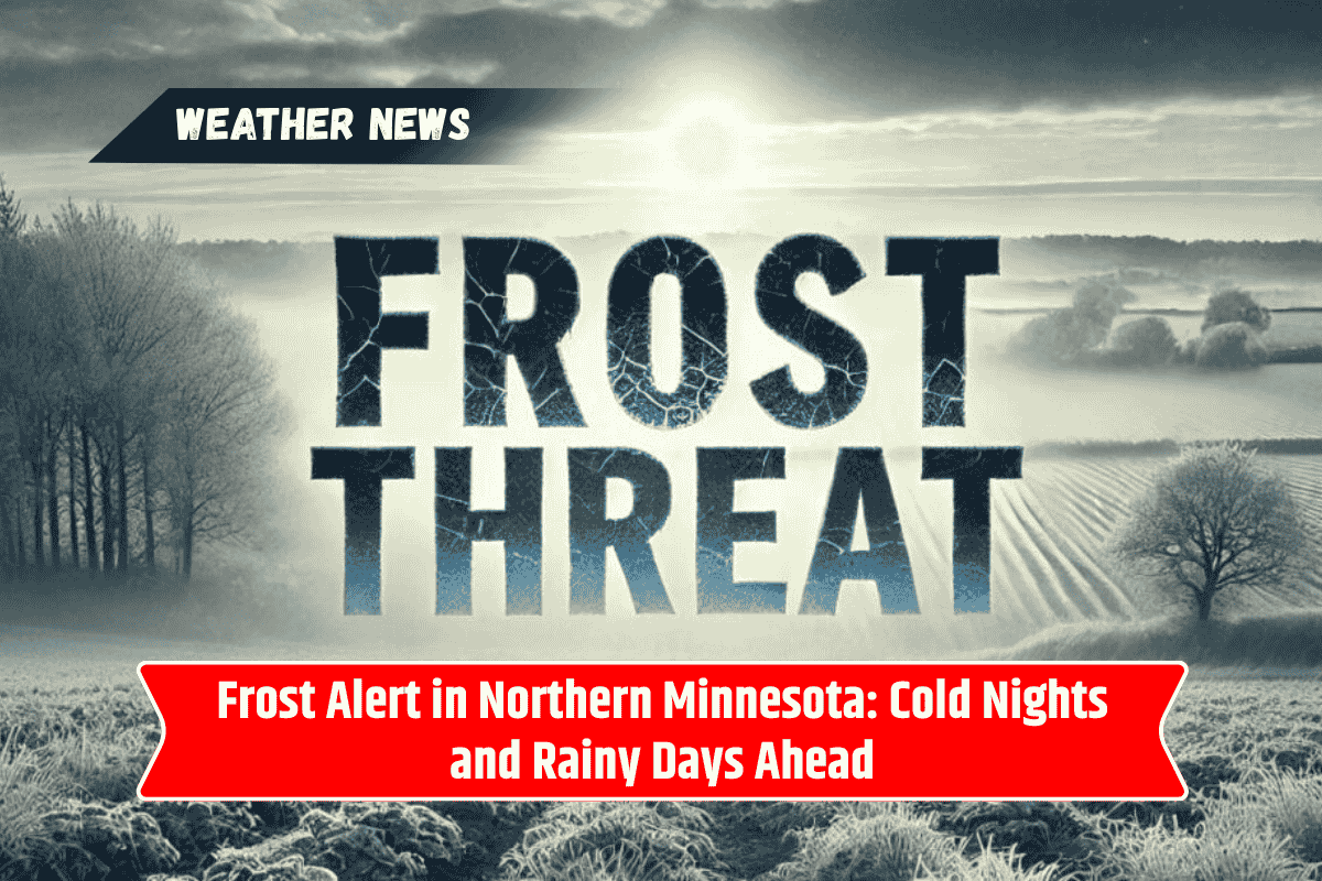
Frost Warning for Saturday Night
Northern Minnesota will experience clear skies and calm winds overnight—ideal conditions for rapid cooling. As a result, temperatures are expected to fall into the mid-30s, with some areas nearing freezing.
Areas affected: International Falls, the Iron Range, and the Arrowhead region
Low temperatures: Around 33°F–36°F
Conditions: Calm winds, clear skies, chilly night
While a widespread freeze isn’t expected, patchy frost could still damage unprotected plants. If you have a garden or sensitive outdoor plants, it’s best to:
Cover them with cloth or blankets
Bring potted plants indoors
Delay early morning watering
Sunday: Chilly Morning, Mild Afternoon
After a frosty start, temperatures will slowly warm up during the day. Sunday will be mostly sunny with highs reaching the upper 50s to mid-60s. It’ll still feel cool, but the sunshine will offer some relief.
Daytime high: 58°F to 65°F
Evening low: Back into the mid-30s
Frost risk: Patchy frost possible again overnight
Another cold night is expected on Sunday, so keep your plants protected for one more round.
Monday-Tuesday: Rain and Thunderstorms Incoming
The calm, cool weather won’t last long. Starting Monday afternoon, a new weather system will bring in scattered showers and possibly a few thunderstorms.
Rain chances: Increase by Monday afternoon
Storm potential: Some storms could be strong, especially late Monday into Tuesday
Travel impact: Wet roads and lower visibility may affect commutes
While the rain is a welcome change for dry soil, keep an umbrella handy and drive carefully during the first half of the week.
Tuesday Onward: Warmer Days Return
By Tuesday and beyond, northern Minnesota will see a return to more seasonable temperatures. Though the rain may linger, daytime highs will gradually rise.
Expected highs: Upper 60s to low 70s by midweek
Overall outlook: Warmer, but slightly unsettled with rain chances off and on
Northern Minnesota 4-Day Weather Outlook
| Day | Morning Low | Daytime High | Weather Condition |
|---|---|---|---|
| Saturday | 34°F | 59°F | Frost risk, clear skies |
| Sunday | 35°F | 63°F | Sunny, patchy frost again |
| Monday | 40s | 66°F | Scattered showers, storms |
| Tuesday | 50s | 70°F | Warmer, chance of rain |
As northern Minnesota transitions from summer to fall, chilly nights and patchy frost are reminding residents to prepare their gardens and homes. With overnight lows dipping close to freezing, it’s important to protect your plants and stay warm.
After the weekend, rain and possible thunderstorms will roll in early next week, followed by warmer and more typical early autumn weather. Stay informed, stay dry, and don’t forget to bring those plants inside!