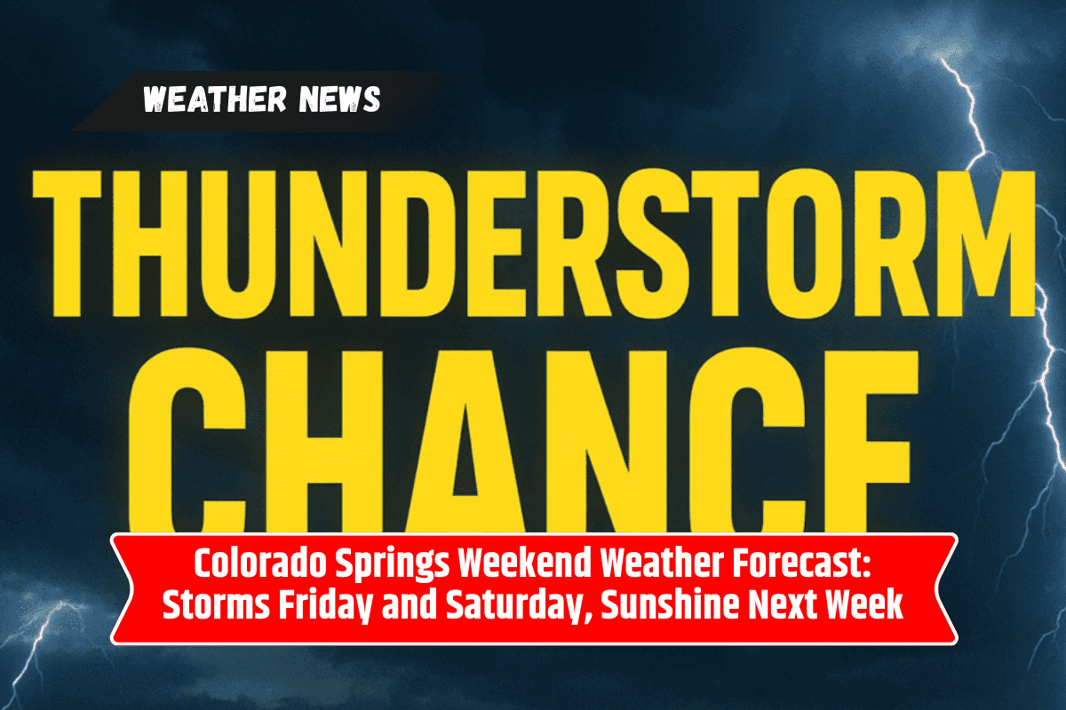
Colorado Springs residents are in for a stormy weekend as showers and thunderstorms arrive Friday evening and continue into Saturday. Friday night football games and other outdoor events could face delays or cancellations due to gusty winds and heavy downpours.
Friday Night: Thunderstorms and Travel Hazards
Storms will develop Friday afternoon and evening, bringing:
Wind gusts up to 50 mph
Frequent lightning
Heavy rainfall and localized flooding
Drivers along I-25 near Colorado Springs should expect slick roads and reduced visibility. Officials recommend caution and urge residents to avoid unnecessary travel during the strongest storms.
Saturday: More Afternoon Storms
Saturday carries a 30% chance of afternoon thunderstorms with highs around 76 degrees. Outdoor gatherings, tailgates, and late events may be disrupted. South winds will strengthen by evening, which could make driving and outdoor plans more difficult.
Sunday: Additional Storm Chances
Sunday brings more unsettled weather, with highs climbing into the upper 70s. Storm chances continue, mainly in the afternoon and evening, keeping outdoor activities at risk of sudden interruptions.
Monday and Beyond: Clearing Skies
By Monday, drier and sunnier weather is expected across Colorado Springs. Highs will reach the low 80s, with only a slight chance of isolated afternoon storms. Tuesday and Wednesday look calm and warm, with highs in the mid-80s under mostly sunny skies.
Five-Day Forecast for Colorado Springs, Colorado
| Day | Forecast | High |
|---|---|---|
| Saturday | Chance of afternoon storms, breezy | 76 |
| Sunday | Storm chances late, mild overnight | 78 |
| Monday | Mostly sunny, isolated storms | 83 |
| Tuesday | Mostly sunny, light winds | 84 |
| Wednesday | Partly cloudy, dry afternoon | 85 |
Colorado Springs faces a stormy stretch through the weekend, with thunderstorms threatening football games, outdoor plans, and travel along I-25. Lightning, gusty winds, and localized flooding remain the main risks.
Thankfully, by Monday, sunshine and calmer skies will return, bringing a much drier and more comfortable pattern into midweek. Residents should stay alert for weather updates and be ready to adjust weekend plans.