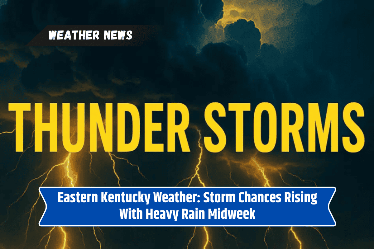
Eastern Kentucky is heading into a stormy stretch of weather, with increasing chances for showers and thunderstorms that may affect daily plans, travel, and school activities.
The National Weather Service in Jackson warns that storms will become more active through midweek, bringing heavy rain, lightning, and the risk of localized flooding.
Tonight’s Forecast
Skies will stay partly to mostly cloudy this evening with a few leftover showers. Temperatures will dip into the upper 50s, giving a brief cool-down before storm chances rise again on Wednesday.
Wednesday: Growing Storm Chances
Storms are expected to become more common by Wednesday afternoon, especially near the Mountain Parkway and Interstate 75 corridor.
Rain and thunderstorms could affect school dismissals and evening commutes, with the Weather Service placing storm chances at 30 to 60 percent. Highs will reach the low 80s, adding to the humid feel of the day.
Thursday: Widespread Showers and Storms
By Thursday, rain coverage will spread across much of the region. Storm chances rise to nearly 80 percent, with highs in the upper 70s. Heavy downpours may cause ponding on roads, slow traffic, and even temporary power outages.
Residents should avoid driving through flooded areas and keep phones and devices charged in case of interruptions.
Safety Reminders
Expect slowdowns during school dismissal and evening rush hour.
Do not attempt to drive through water-covered roadways.
Stay weather-aware and monitor alerts for updates.
Charge phones and keep emergency supplies ready.
The storm threat will continue through Thursday night, with the potential for additional advisories from the National Weather Service. While conditions remain unsettled now, a clearer picture of the weekend forecast will develop once this storm system moves through.