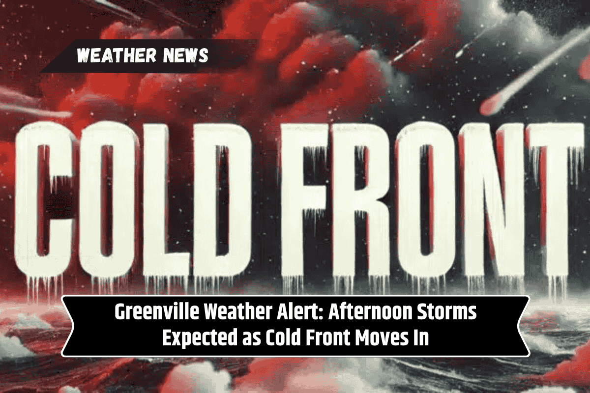
Greenville, SC – The Upstate is in for a stormy end to the weekend as a cold front moves into the Carolinas and northeast Georgia Sunday evening, bringing the promise of cooler, fall-like conditions to start the week.
Storms to Bring Rain, Lightning, and Gusty Winds
The National Weather Service in Greenville-Spartanburg has forecast scattered thunderstorms ahead of the front, with the highest risk of downpours, lightning, and gusty winds affecting the mountains and foothills of western North Carolina, Upstate South Carolina, and northeast Georgia.
Cities like Asheville, Anderson, and Gainesville could see storm chances of 60% or more through late tonight.
Travel Hazards and Potential Flooding
Travelers should be aware of wet roads and reduced visibility, particularly along I-26 and I-85. The threat of localized ponding or minor flooding in poorly drained areas is also possible.
Power outages are a concern with stronger storms, so residents are advised to prepare by charging devices and minimizing outdoor activities.
Cooler Weather Ahead
The cold front will move through overnight, bringing in drier air by Monday morning. By Tuesday, temperatures will drop into the 70s and 80s, providing a much-needed break from the summer heat.