Green Bay, Wis. – A blast of cooler air has moved into Wisconsin, bringing the possibility of patchy frost in the far northern regions as overnight lows dip into the upper 30s on Monday and Tuesday nights.
The National Weather Service predicts that daytime highs will remain below normal, with many areas across the state experiencing highs in the 60s through midweek.
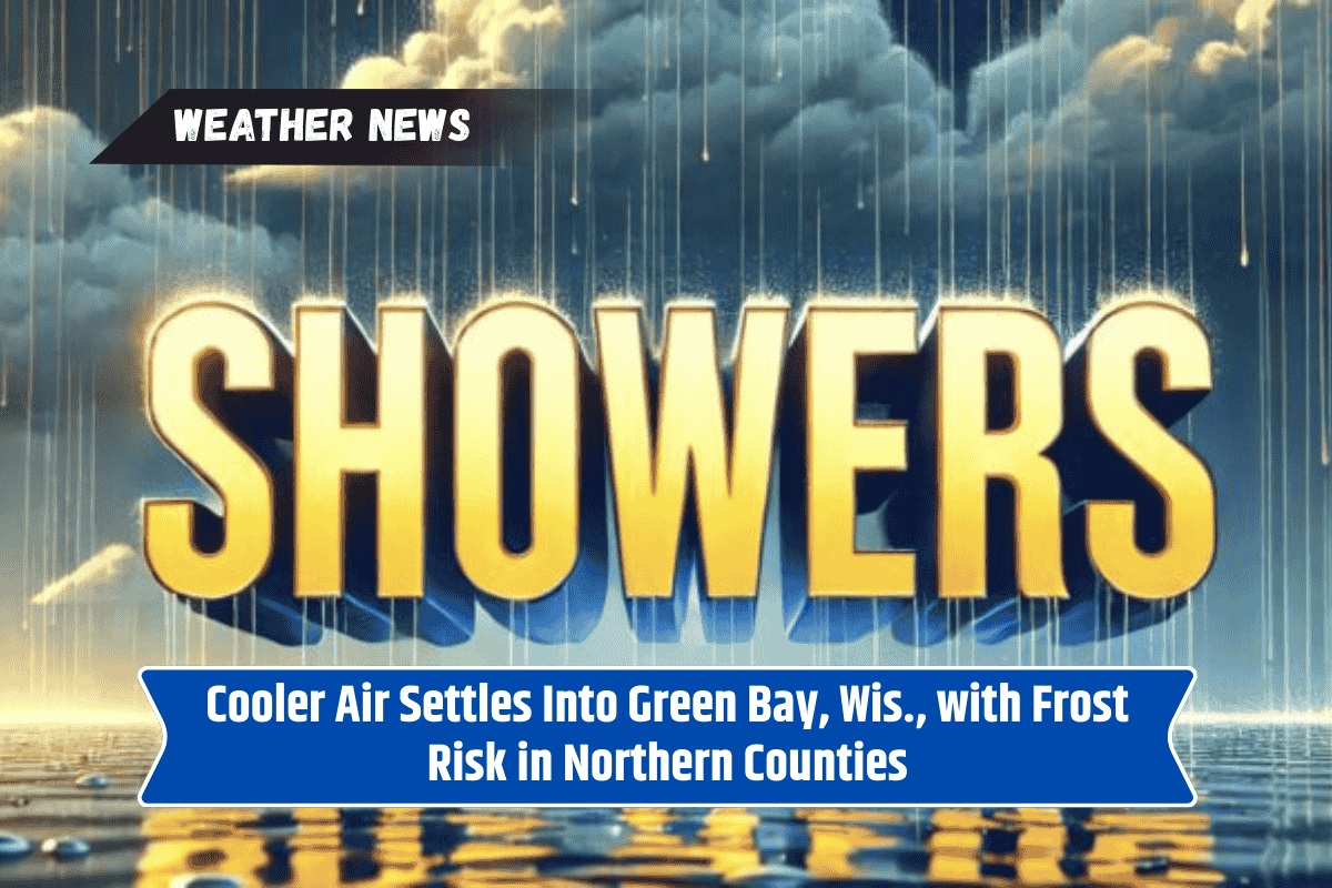
Brief Showers Followed by Dry, Cooler Weather
The National Weather Service in Green Bay reports that a few showers, with isolated rumbles of thunder, are still possible Sunday afternoon, primarily affecting north-central Wisconsin. However, high pressure will build in, leading to quieter and mostly dry conditions for the rest of the week.
In Green Bay, temperatures will remain in the mid to upper 60s through Wednesday, climbing slightly into the 70s later in the week.
Northern towns like Rhinelander may experience the coldest nights, where clear skies and light winds could lead to frost forming on low-lying surfaces. Farmers and gardeners should consider protecting sensitive plants during this time.
Travel Conditions and Hazards
Travel across Wisconsin should not be significantly impacted after Sunday’s showers, with no widespread hazards expected. However, there may still be localized slick spots from passing rain.
Warming Toward the End of the Week
By Thursday and Friday, conditions are expected to moderate, with temperatures recovering to more typical seasonal norms. Additional frost advisories may be issued if frost forms earlier in the week.
Five-Day Forecast for Green Bay, WI
Sunday: Showers possible with thunder, highs 56–68°F
Monday: Mostly cloudy, highs 60–68°F
Tuesday: Partly sunny, highs 64–71°F
Wednesday: Dry and cool, highs 69–74°F
Thursday: Slight chance of showers, highs 67–75°F