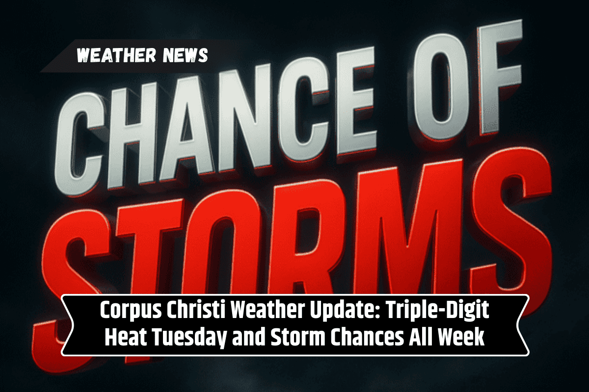
South Texas will face extreme heat and daily storm risks as temperatures soar into the triple digits, with relief not expected until the weekend.
Heat Index Near 106°F and Scattered Storms
The National Weather Service in Corpus Christi reports that heat index values could reach near 106°F on Tuesday, with scattered thunderstorms likely to disrupt travel and outdoor activities. Rain chances will vary between 45% and 60% through Saturday, particularly in the Victoria Crossroads and Coastal Plains regions.
High Temperatures to Persist Despite Storms
Despite the thunderstorms, the heat will remain intense, with highs reaching from the mid-90s to 103°F in the middle of the week. Temperatures will gradually cool into the upper 80s to upper 90s by Saturday. Overnight lows will hover in the mid-to-upper 70s, maintaining high humidity.
Storm Risks and Travel Alerts
Travelers should stay alert for sudden downpours that could cause ponding on roadways. Residents are advised to stay hydrated, avoid the outdoors during the peak heat hours, and secure loose items in preparation for gusty winds associated with storms.
Five-Day Forecast for Corpus Christi, Texas
Tuesday: 93–106°F, 60% chance of storms
Wednesday: 92–103°F, 45% chance of storms
Thursday: 91–101°F, 60% chance of storms (Victoria Crossroads)
Friday: 90–97°F, 55% chance of storms (Coastal Plains)
Saturday: 89–97°F, 50% chance of storms