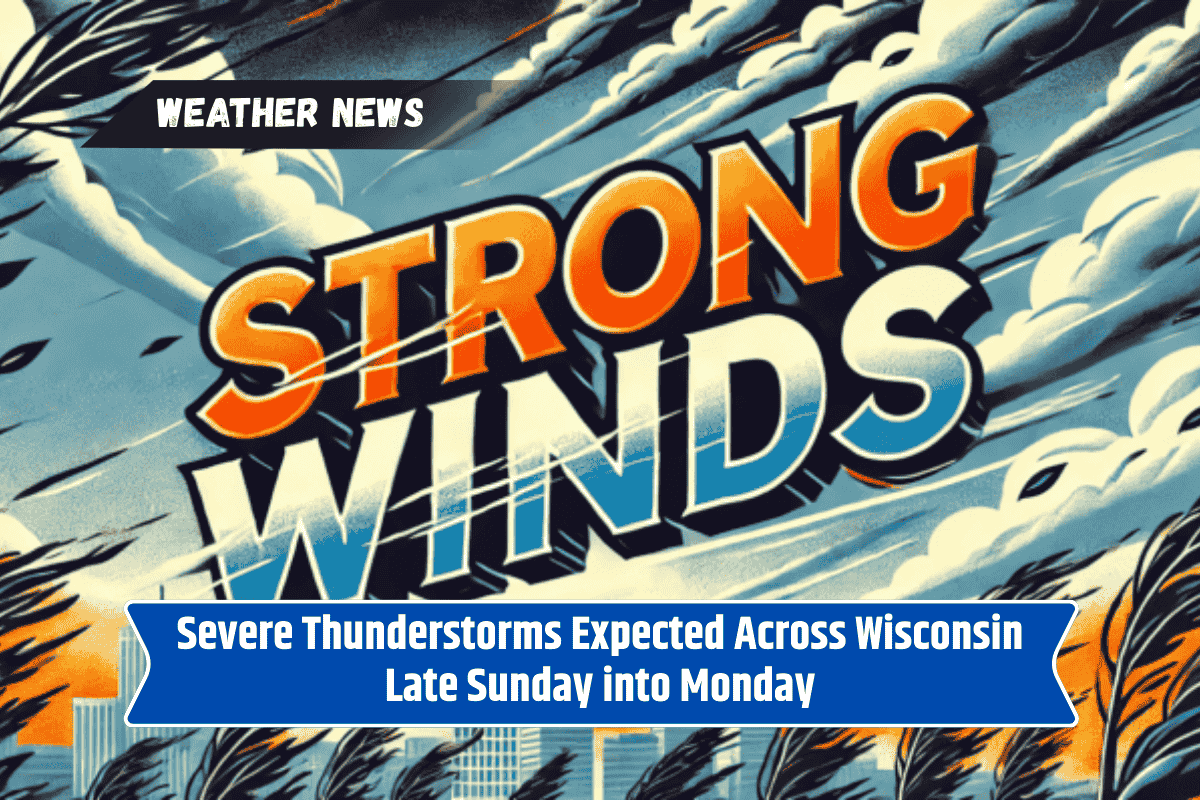
Green Bay, Wis. – Severe thunderstorms are forecast to affect much of Wisconsin from late Sunday night through Monday evening, with risks of damaging winds, hail, and localized flooding.
The most intense storms are anticipated Monday afternoon and evening across central and east-central parts of the state, including Green Bay, Appleton, Stevens Point, and Wausau.
Risk of Damaging Winds and Hail
The National Weather Service in Green Bay reports that multiple rounds of storms are likely, with winds reaching up to 60 mph and hail up to three-quarters of an inch. Localized flooding is also a concern, especially in urban areas and low-lying rural regions, as heavy downpours move through the state.
Potential Hazards for Travelers and Residents
Communities along Highway 29 and I-41 should be prepared for power outages, downed tree limbs, and hazardous driving conditions during the evening commute.
Emergency managers are advising residents to stay informed by monitoring weather alerts and having multiple ways to receive warnings overnight and into Monday.
Safety Measures and Travel Advice
Residents are urged to secure outdoor items that could become projectiles in strong winds and to avoid flooded roads. Travelers should take extra precautions and avoid driving through flooded areas.
Storm Threats Continue Through Monday Night
The storm threat is expected to persist through Monday night, and additional advisories may be issued if atmospheric conditions become more unstable.