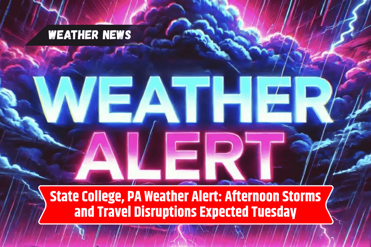
State College and surrounding areas should prepare for possible thunderstorms Tuesday afternoon. According to the National Weather Service, brief downpours, lightning, and gusty winds are all possible as storms roll through Centre County, especially after 2 p.m.
The weather service has indicated that while severe weather is not expected, the storms could still disrupt travel and outdoor activities.
Details of the Storm Chances
On Tuesday, the chance of thunderstorms will start at 20% during the day, with the likelihood increasing to 40% by evening. The most impacted areas will include downtown State College, U.S. Route 322, and nearby neighborhoods such as Bellefonte and Boalsburg.
Lightning, heavy rain, and gusty winds could cause delays during the afternoon commute and potentially affect outdoor practices or events at Penn State University. It is advisable to stay alert to the changing weather conditions if you plan to be outdoors, particularly in the late afternoon and evening.
Overnight Storms Expected
While Tuesday’s storm chances peak in the afternoon, another round of storms is possible overnight and into early Wednesday.
The National Weather Service predicts that the storm risk will continue overnight, potentially extending into Wednesday morning, though the intensity of these storms is expected to diminish as the night progresses.
Wednesday Brings Higher Storm Chances
On Wednesday, the storm risk increases significantly, with the National Weather Service forecasting a 70% chance of showers and thunderstorms, especially after 2 p.m.
Residents should prepare for locally heavy rainfall, gusty winds, and the possibility of brief but intense storms. This may impact outdoor events and travel again, especially during the afternoon and evening.
How to Prepare for the Weather
Stay Alert: Keep an eye on weather updates and the sky, especially in the afternoon and evening, when storms are most likely to develop.
Take Shelter Early: If you are outdoors and see signs of an impending storm, it’s best to seek shelter as soon as you hear thunder or see lightning.
Prepare for Travel Delays: If you have travel plans, allow extra time for your commute in case of storm-related delays or flooding. Localized heavy rainfall could cause traffic disruptions or make driving conditions hazardous.
Five Day State College, PA Forecast:
Monday: Sunny, high of 87°F, low of 66°F.
Tuesday: Slight chance of thunderstorms after 2 p.m., high of 90°F, low of 68°F.
Wednesday: Showers and thunderstorms likely, high of 89°F, low of 66°F.
Thursday: Mostly sunny, high of 86°F, low of 61°F.
Friday: Sunny, high of 88°F, low of 63°F.
Take Extra Precautions with Outdoor Plans
With storm chances expected to rise on Tuesday and Wednesday, outdoor events, sports practices, and other activities may be interrupted. If you have plans for outdoor activities, be sure to keep a close eye on the sky and have a backup plan in case the weather takes a turn for the worse.
As always, it’s important to stay safe during stormy weather and ensure you have access to weather alerts so you can stay informed. Stay tuned for updates as conditions evolve and make necessary adjustments to plans to avoid getting caught in potentially dangerous conditions.