Residents of Oklahoma City can expect one more day of intense heat on Sunday before a shift in the weather brings chances of storms early next week. According to the National Weather Service in Norman, a Heat Advisory remains in effect through 8 p.m.
Sunday, with the possibility of heat index values reaching up to 103°F. However, some relief may come late Sunday night as storm chances begin to increase.
Sunday: Scorching Temperatures Continue
For Sunday, expect sunny skies with highs near 100°F, which will feel even hotter with the heat index pushing toward triple digits. Winds will come from the south at 10 to 14 mph, offering little respite from the heat, although gusts could reach up to 23 mph.
With such extreme conditions, it’s advisable to keep outdoor plans brief and stay hydrated throughout the day. The advisory will remain in effect until 8 p.m., and residents are urged to limit strenuous activity and keep pets indoors.
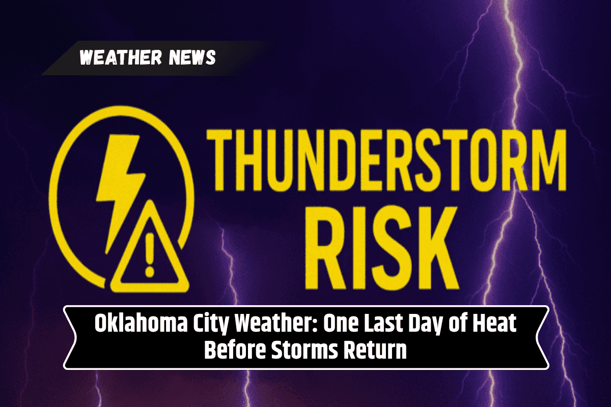
Chance of Storms Starting Sunday Night
A shift in the weather pattern is expected later in the evening, with a 30% chance of showers and isolated thunderstorms developing after 1 a.m. on Monday. While the storms will likely be scattered, the brief rain could offer some much-needed relief from the oppressive heat.
Monday: Cooling Down Slightly, but Stormy Weather Likely
The high temperature on Monday will be around 90°F, a slight break from the scorching heat of the weekend. While the temperature may feel cooler, residents should still expect an unsettled atmosphere as cloud cover increases.
There is a 40% chance of thunderstorms in the afternoon, which could impact commutes and outdoor activities. With the chance of brief downpours and lightning, anyone planning to spend time outdoors should stay alert to the forecast.
Unsettled Weather Continues into Midweek
The stormy pattern will continue through the beginning of the week. Monday night into Tuesday brings the best chance of widespread rain, with thunderstorms likely continuing into Tuesday. The high on Tuesday will be near 88°F, and with the ongoing storm chances, the day could bring more rain and possible disruptions to plans.
By Wednesday, Oklahoma City should see mostly sunny skies with a high near 91°F, and conditions will remain generally dry. The temperature will rise slightly again on Thursday, with highs near 93°F under mostly sunny skies.
Five-Day Forecast: What to Expect
Sunday: Sunny, hot with a high near 100°F and a low around 74°F.
Monday: Partly sunny with a 30% chance of thunderstorms. High near 90°F, low around 70°F.
Tuesday: Chance of thunderstorms, high near 88°F, low around 71°F.
Wednesday: Mostly sunny, high near 91°F, low around 73°F.
Thursday: Mostly sunny, high near 93°F.
Safety Reminders
As temperatures soar and storms return, residents are reminded to take precautions during the heat. Limit outdoor activities during peak heat hours and stay hydrated.
Be aware of storm risks as thunderstorms develop and be prepared for potential lightning hazards. As always, stay updated with weather forecasts, especially if you have outdoor plans, to ensure safety during rapidly changing weather conditions.