Southeastern Wisconsin residents should prepare for a stormy Sunday afternoon as thunderstorms are forecast to develop, bringing the potential for heavy rainfall and localized flooding into the evening.
According to the National Weather Service, rain will start to pick up after 3 p.m., making travel conditions slower, especially along I-94 and other major routes in the Milwaukee area.
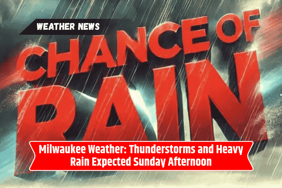
Sunday: Thunderstorms Likely with Heavy Rainfall
Thunderstorms are expected to develop across Milwaukee and surrounding areas, with a 60% chance of rain. The rain could be steady at times, and localized flooding is a possibility, especially in areas that experience heavier downpours.
Rainfall amounts will generally range from a tenth to a quarter inch, although some thunderstorms may produce more intense rainfall.
Winds from the south at 10 to 15 mph will push humid air into the region, driving afternoon temperatures into the mid-80s. The highest risk for storms will occur between late afternoon and mid-evening, with conditions tapering off overnight.
Residents are urged to have a backup plan for any outdoor activities, as the storms may cause disruptions. Additionally, if you plan on traveling, be cautious of flooded intersections or slower driving conditions due to the heavy rain.
The weather service has also warned that additional alerts could be issued if rainfall rates increase or if storms turn severe.
Monday: Showers Continue with Thunderstorm Possibility
On Monday, the rain chances will remain elevated, with more cloud cover and the possibility of additional showers or even a thunderstorm. The high will be near 83°F, with temperatures in the low 70s at night.
Those with outdoor plans should continue to stay updated on radar conditions, as rainfall could still cause minor disruptions to activities and travel.
Tuesday: Brief Break in the Weather
Tuesday will provide a slight break from the storms, with only a 30% chance of showers, mainly before 1 p.m. The day will remain mostly cloudy, but temperatures will still reach a high of 83°F, making for a milder, more comfortable day.
The evening will cool down to around 69°F, and while a brief dry stretch is expected, rain will return by midweek.
Midweek Outlook: More Showers Ahead
For Wednesday, there is a slight chance of showers, but the weather will generally remain partly cloudy with highs near 83°F. As the week progresses, Thursday will bring a higher chance of showers and thunderstorms, with temperatures remaining consistent in the low 80s.
Five-Day Forecast: What to Expect
Sunday: Thunderstorms likely after 3 p.m., with heavy rain possible. High 84°F, low 72°F.
Monday: Showers likely with a possible thunderstorm. High 83°F, low 69°F.
Tuesday: 30% chance of showers before 1 p.m., partly sunny. High 83°F, low 69°F.
Wednesday: Slight chance of showers, partly cloudy. High 83°F, low 68°F.
Thursday: Chance of showers and thunderstorms. High 83°F, low 68°F.
Safety Tips for Thunderstorms and Heavy Rain
With thunderstorms expected on Sunday and rain likely continuing into the early week, residents should remain alert to rapidly changing conditions. If you’re heading out, avoid driving through flooded intersections or roads where water may be rising quickly. Always err on the side of caution and stay indoors during severe weather.
For those with outdoor plans, having an indoor backup option is highly recommended, as stormy conditions could impact activities, especially during the late afternoon and evening hours. Keep an eye on weather updates and be prepared for changing conditions.