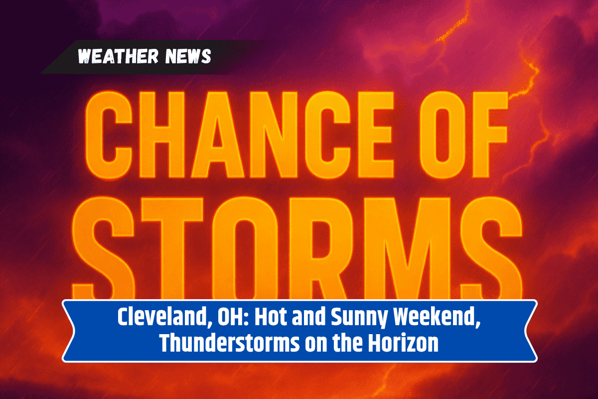
Cleveland is gearing up for a hot and sunny weekend before the weather shifts midweek, bringing humidity and scattered thunderstorms. After a warm Sunday, the city will experience one last surge of summer heat before cooler air settles in later this month.
Hot and Sunny Weekend
Northeast Ohio will enjoy pleasant conditions on Sunday, with afternoon highs reaching around 89°F. Light winds will make it a perfect day for outdoor activities across Cleveland and its suburbs.
Monday will continue the sunny and hot trend, with highs near 90°F. These two days will provide ideal weather for enjoying outdoor plans before the weather takes a turn.
Thunderstorms and Humidity Midweek
Tuesday brings a change in conditions, with a 40% chance of showers and thunderstorms after 2 p.m. Storms are expected to continue through Tuesday night, potentially impacting outdoor activities and commutes.
Areas near Lake Erie and along the I-90 corridor could experience brief downpours, gusty winds, and lightning. It’s a good idea to have a rain plan ready if you’re heading outside in the late afternoon or evening.
By Wednesday, humidity will increase, and temperatures will drop slightly to the mid-80s. Scattered thunderstorms are expected again, especially after 2 p.m., and the 40% chance of storms will linger into Thursday. Temperatures will remain in the low to mid-80s through Thursday, with more storms in the forecast.
End of Summer Heat
This stretch of heat marks one of the last warm surges before cooler air begins to filter in later this month. While temperatures will stay high through Monday and Tuesday, the midweek storms and humidity will make it feel less comfortable outdoors.