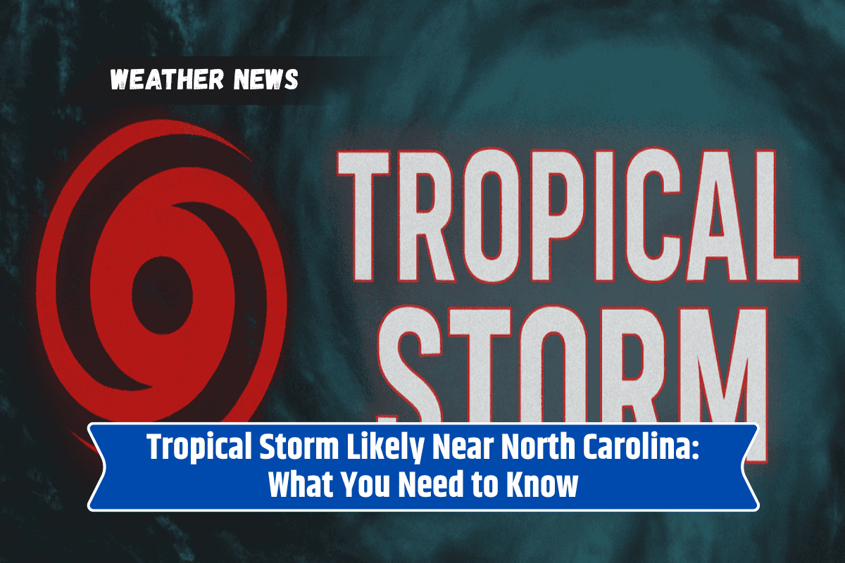
A tropical weather system off the coast of North Carolina is quickly gaining strength, with an 80% chance of turning into a tropical storm within the next 24 hours.
Known as Invest 95L, this system is sitting a few hundred miles off the coast but could bring dangerous weather to beach towns from Cape Hatteras to Myrtle Beach. Let’s break down what this means for local residents and tourists.
Where Is the Storm Now?
The tropical disturbance is currently out at sea, east of North Carolina. The National Hurricane Center says conditions in the atmosphere are now turning more favourable for the system to develop into a tropical storm. Even if it stays offshore, the weather could still get rough along parts of the Carolina coastline.
Coastal Areas on Alert
If you’re heading to the beach or live near the coast, be cautious. Rough surf, strong rip currents, and heavy rainfall could start affecting coastal areas as early as Monday night. This includes popular beaches like Cape Hatteras and Myrtle Beach.
Emergency teams are warning swimmers, surfers, and boaters to be very careful. Even if the storm doesn’t come directly ashore, it could still cause problems like high surf and minor coastal flooding, especially during high tide.
What About the Inland Areas?
If you live inland in areas like the Triangle (Raleigh-Durham-Chapel Hill) or the Sandhills region, you may not see major effects. However, there could still be brief periods of rain and gusty winds. Power outages are not expected but keeping phones and devices charged is a good idea just in case.
Could the Storm Change Direction?
Yes, it could. Forecast models suggest that the system is most likely to remain offshore. However, weather systems like this can change path quickly. So residents along the coast should keep a close eye on weather alerts and forecasts. Even a small shift could change where the storm hits hardest.
What Should You Do?
Stay updated with official weather warnings. If you’re at the beach, avoid swimming in the ocean when rip current warnings are in place. Boat owners should double-check their vessels are secure, and visitors should listen to local authorities.
A fast-forming tropical system near North Carolina is showing strong signs of becoming a tropical storm soon. While it’s likely to stay out at sea, coastal communities from North Carolina to South Carolina should prepare for dangerous waves, rain, and possible flooding.
Inland regions may experience some breezy weather and light rain, but the bigger concern remains at the coast. Staying alert and informed is the best way to stay safe.