Charleston, West Virginia is set for a pleasant and mostly sunny weekend, but a change in the weather is on the horizon. While drivers may face some patchy fog early Saturday, clear skies and warm temperatures will follow through Monday.
By midweek, however, rain and thunderstorms could disrupt travel and outdoor plans. It’s a good idea to enjoy the mild days now and prepare for possible wet weather ahead.
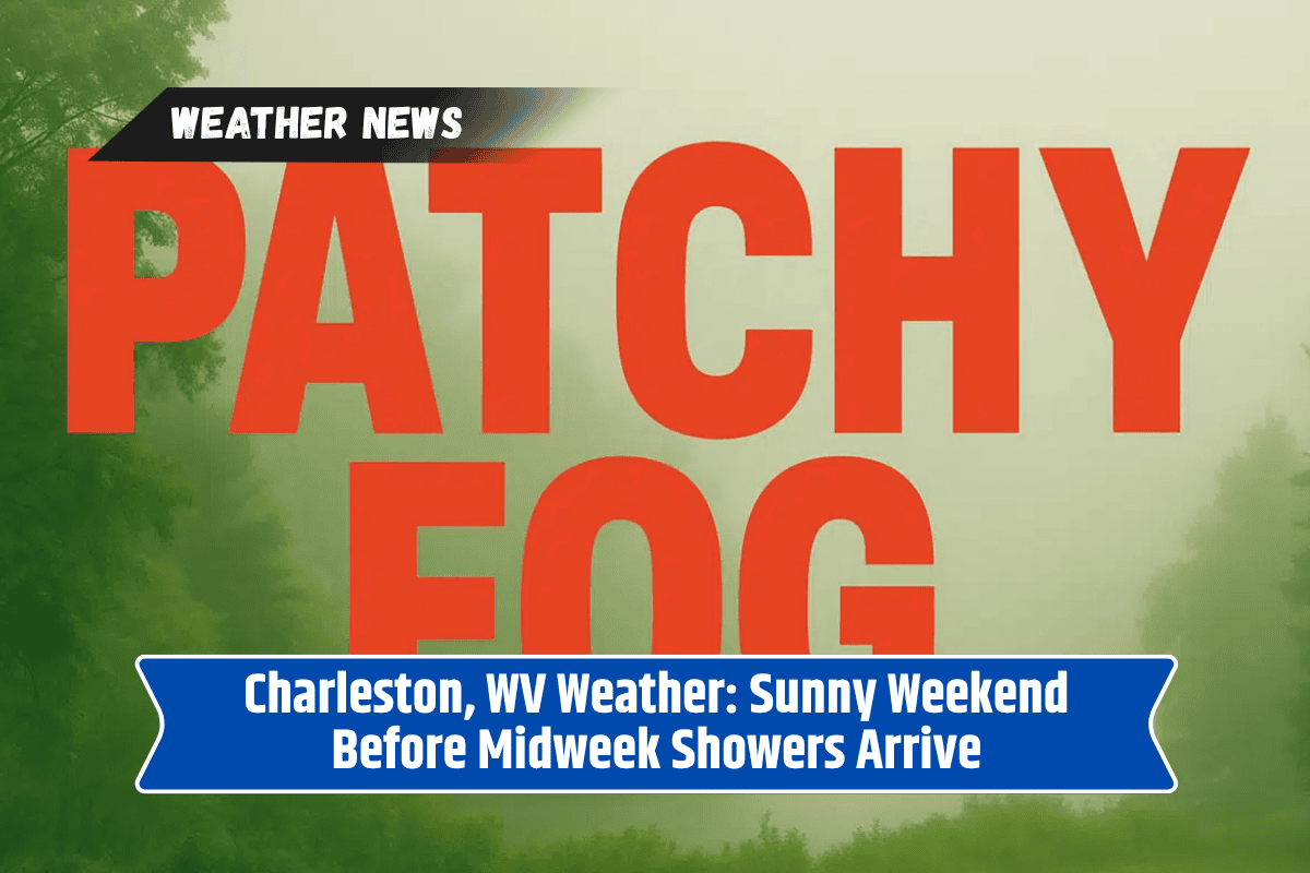
Foggy Start Followed by a Bright Weekend
Saturday morning will start off foggy across Charleston and the surrounding Kanawha Valley. The fog is expected to be thick in spots, especially near rivers and low-lying roads. It should begin to clear by 9 a.m., leading to partly sunny skies by the afternoon.
Highs will reach around 80°F with light northeast winds, making it a comfortable day once the fog lifts.
The National Weather Service notes that this fog is caused by calm winds and high humidity overnight, which allow moisture to settle near the ground. Drivers along I-64 and other major roads should allow extra time and use headlights to stay safe during early morning travel.
Sunny Days Continue Through Monday
Sunday and Monday are expected to bring mostly sunny skies and mild temperatures, perfect for outdoor plans. Sunday’s high will be near 82°F, while Monday will be slightly warmer at 84°F. Areas like Nitro, Institute, and Cross Lanes can expect similar weather, with no significant changes or threats during this time.
This stretch of dry, clear weather makes it a great time for local events, yard work, or just enjoying the outdoors before stormier conditions arrive. Evenings will be cool and calm, making for pleasant nights.
Rain Returns Midweek
The weather pattern begins to shift on Tuesday night, with a 40% chance of showers arriving. Until then, Tuesday will be partly sunny and warm, with highs again near 84°F. By Wednesday, the region could see widespread showers and possible thunderstorms, which may bring heavier rain and some power disruptions.
These storms could affect travel conditions along I-64 and surrounding roads, especially during the morning and evening commutes. It’s important to keep phones and devices charged, as strong storms could lead to temporary outages.
Updates from the National Weather Service will help track storm progress and any advisories that may be issued.
Five-Day Forecast for Charleston, WV
Saturday: Fog early, then partly sunny. High near 80°F.
Sunday: Mostly sunny, high near 82°F.
Monday: Sunny, high near 84°F.
Tuesday: Partly sunny, high around 84°F. Showers possible at night.
Wednesday: Showers and thunderstorms likely. High near 80°F.
Charleston residents can enjoy a calm and comfortable weekend with warm, sunny days through Monday. Just be cautious of early morning fog on Saturday, especially if you’re traveling.
By Tuesday night into Wednesday, the weather takes a turn as rain and storms are expected to roll in. These could bring travel delays and brief power outages, so keeping an eye on the forecast will be important. For now, make the most of the mild weather before the midweek changes.