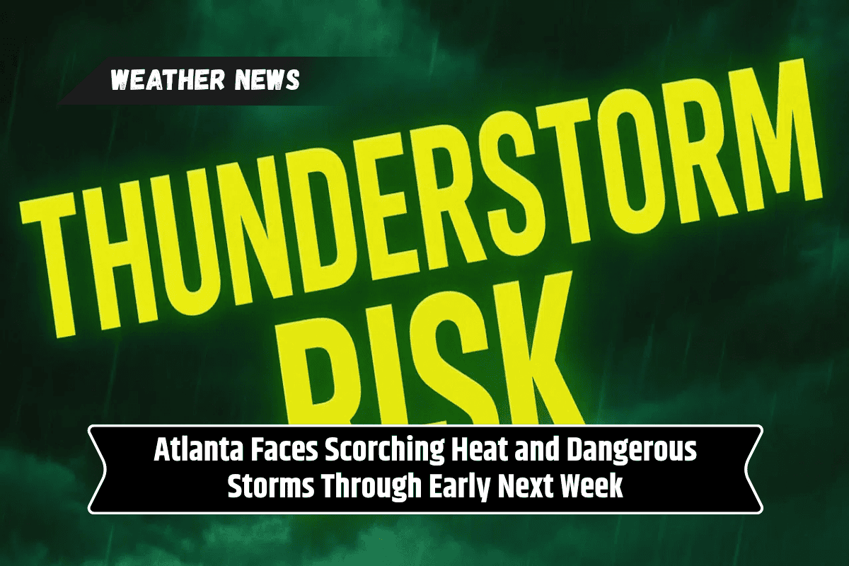
Atlanta residents should brace for a mix of extreme heat and severe weather starting Friday and lasting through Tuesday. The National Weather Service in Peachtree City has warned that the heat index could soar past 105°F across metro Atlanta and central Georgia.
In addition to the heat, strong thunderstorms, heavy rain, and the risk of flooding are expected each day through midweek.
Heat Wave to Peak Friday Afternoon
Friday will mark the beginning of one of Atlanta’s hottest stretches this summer. Between noon and 8 p.m., temperatures will reach a high of 93°F, but it will feel even hotter due to high humidity, with heat index values climbing above 105°F.
This type of weather can lead to heat exhaustion or even heat stroke if precautions aren’t taken. Residents are advised to stay indoors, drink plenty of water, and avoid strenuous activities during the afternoon hours.
Severe Storms on the Horizon
The heat isn’t the only danger. Afternoon and evening thunderstorms are likely to form in counties such as Fulton, DeKalb, Clayton, and Cobb. Some storms may turn severe, with wind gusts reaching 60 mph.
These winds could cause downed trees, scattered power outages, and travel disruptions. The storms are expected to continue into the night and will return each day through Wednesday.
Flood Risk Growing Into Next Week
With repeated rounds of rain forecast through early next week, parts of metro Atlanta could see over 3 inches of rainfall. Localized flooding is becoming a growing concern, especially in low-lying neighborhoods near Peachtree Creek and Nancy Creek.
Storm drains may become overwhelmed quickly, increasing the risk of street flooding and property damage. Residents are urged to monitor local weather alerts and take action early to protect their homes.
Stay Safe on the Roads
Drivers on major highways like I-75, I-20, and I-285 should be extra cautious. Sudden heavy rain can cause ponding on roads, reducing visibility and increasing the chances of hydroplaning.
If possible, avoid driving during storms. Clear out storm drains near your home, charge mobile phones and other essential devices, and plan alternate routes if flooding blocks your usual commute.
Five-Day Forecast Snapshot
Friday: Mostly sunny early, then storms after 5 p.m. High of 93°F, heat index up to 105. Gusty winds possible with storms.
Saturday: Afternoon thunderstorms likely. Cooler with a high of 81°F.
Sunday: Showers and thunderstorms possible after 11 a.m. High of 74°F.
Monday: More storms likely with heavy rain in some areas. High around 79°F.
Tuesday: Continued storm chances and mostly cloudy skies. High of 78°F.
Atlanta is heading into a period of severe weather marked by high heat and regular thunderstorms. With heat indices above 105°F and wind gusts reaching up to 60 mph, it’s important to take safety measures now.
The risk of flooding will increase with each passing day, so prepare early by checking your drainage systems, staying updated on alerts, and adjusting your travel plans as needed. This intense weather pattern may last well into midweek, so remain cautious and stay safe.