Austin, Texas – Central and South Texas will experience a stretch of hot weather with temperatures near or above 100°F through early next week. The region is facing typical summer heat, with daily highs expected to stay in the high 90s to low 100s.
The weather will also bring a chance of afternoon showers and thunderstorms, particularly east of I-35. As the week progresses, expect occasional heavy rain, gusty winds, and potentially hazardous conditions, especially during the evening hours.
Scorching Heat Across Central Texas
According to the National Weather Service for the Austin-San Antonio area, temperatures will be consistently high throughout the week. Daily highs are predicted to reach between 97°F and 103°F, particularly affecting areas like San Antonio, Austin, and surrounding counties.
The hottest days are expected on Friday, Saturday, and Sunday, with only a slight cooling expected by Wednesday.
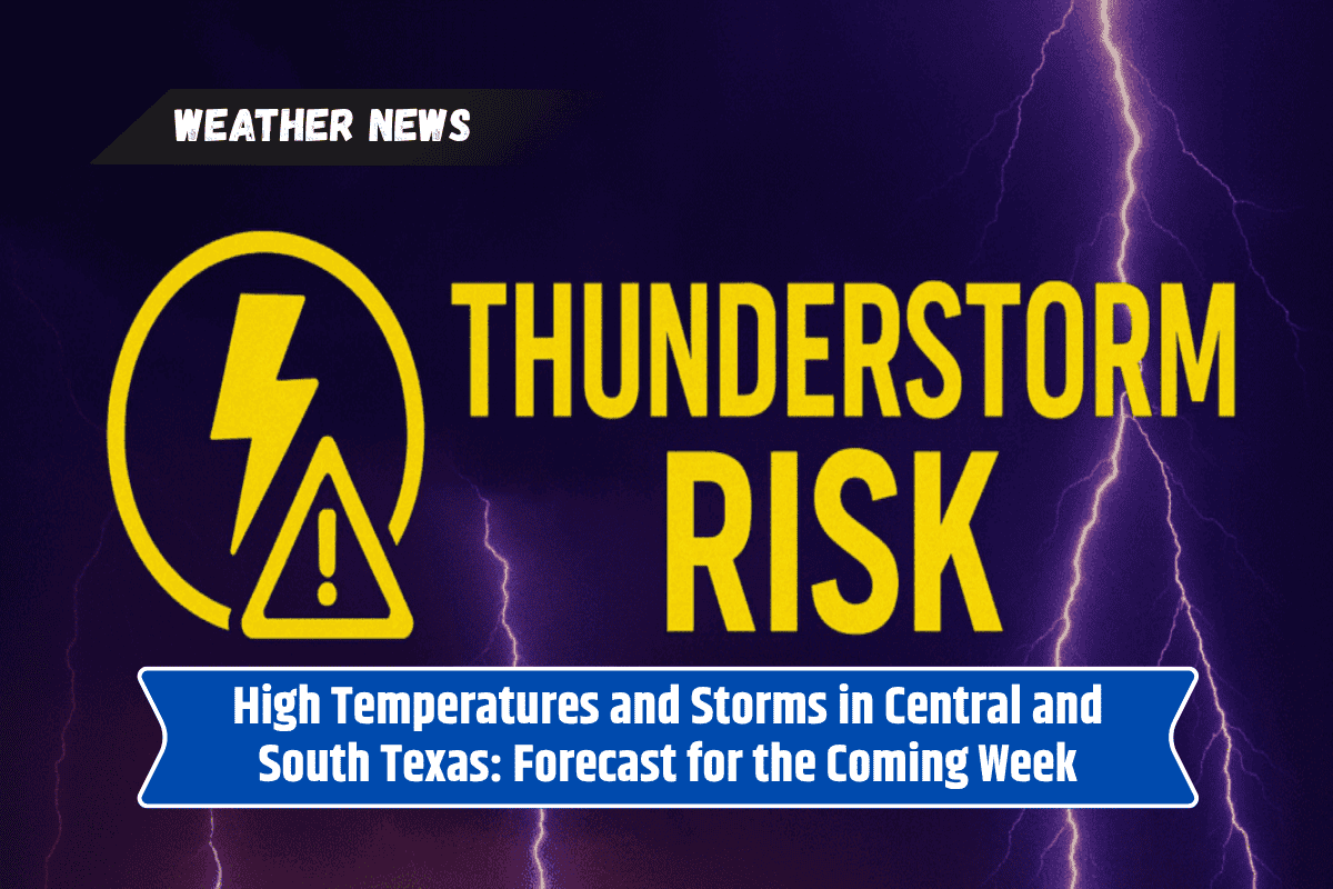
Thunderstorms and Rainfall East of I-35
Afternoon showers and thunderstorms will bring some relief to parts of Central Texas, especially east of I-35. Cities such as Gonzales, La Grange, and Schulenburg could see scattered rain from Friday to Tuesday.
These storms may disrupt outdoor activities and late-day commutes, with rainfall causing brief ponding or reduced visibility on roads like US 77 and I-35. Drivers are advised to be cautious and avoid flooded areas.
Dry Conditions and Extreme Heat West of I-35
While areas east of I-35 will have rain chances, regions west of this highway will remain dry, and temperatures will stay in the triple digits. The dry heat, combined with high humidity, will make for very uncomfortable conditions. The heat will not offer much overnight relief, making this one of the warmest starts to August in recent years.
Staying Safe in Hot Weather
With such extreme heat expected, residents should take precautions. Staying hydrated, avoiding outdoor activities during peak heat hours, and seeking shade are essential to staying safe.
The National Weather Service has warned of the possibility of additional heat advisories, and scattered thunderstorms could bring quick but temporary relief to the heat.
Five-Day Forecast for Central Texas
Friday 8/1: Highs of 101–103°F. A 25–30% chance of afternoon and evening showers, mainly east of I-35.
Saturday 8/2: Highs of 99–102°F. A 35% chance of thunderstorms with gusty winds, especially east of I-35.
Sunday 8/3: Highs of 97–101°F. A 35% chance of rain, with the best chances near US 77.
Monday 8/4: Highs of 98–101°F. A 25–30% chance of scattered showers and thunderstorms.
Tuesday 8/5: Highs of 97–100°F. A 25% chance of storms, mainly east of I-35.
Wednesday 8/6: Highs around 98°F. Drier conditions with continued heat.
This upcoming week will see a mix of very hot weather, scattered thunderstorms, and a few rain showers in parts of Central Texas. While the eastern areas will experience storms and potential flooding, the western parts will endure relentless heat.
It’s important for residents to stay updated with the weather forecast and take necessary precautions to stay safe during this extreme heat.