Tampa, Florida, is bracing for more summer storms as the weather takes a turn with scattered thunderstorms expected on Thursday, July 31st. The storms are likely to disrupt afternoon routines and bring intense heat across the region.
This weather event is set to impact residents and travelers throughout Hillsborough County, particularly those along I-275, with strong storms, heavy downpours, and heat index values that could soar as high as 107°F.
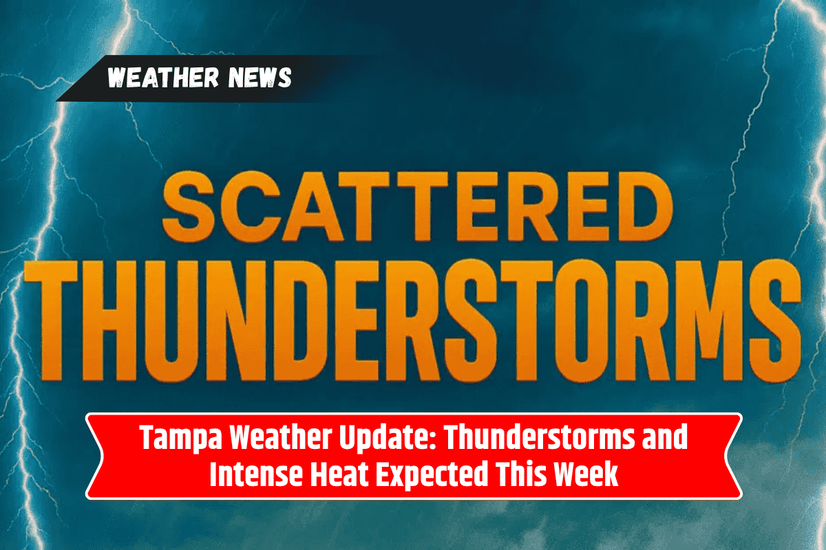
Thunderstorms to Hit After 2 P.M.
According to the National Weather Service (NWS), the sunny conditions expected in the early afternoon will quickly give way to thunderstorms starting after 2 p.m. Thursday. The temperature is predicted to reach around 95°F, with humidity pushing the “feels-like” temperature even higher.
The NWS has issued a warning about the potential for dangerous travel conditions, including slick roads and localized flooding, especially along major routes like I-275 and U.S. 41.
Residents are advised to stay alert and avoid unnecessary travel during storm hours. It’s also important to stay hydrated and limit outdoor activities, especially during the peak heat of the afternoon. These storms may cause disruptions across the Tampa Bay area, affecting travel, outdoor events, and daily routines.
Nighttime and Weekend Weather Outlook
The risk of thunderstorms will persist into Thursday night, with conditions gradually clearing up by Friday morning. However, expect more scattered thunderstorms on Friday, August 1st, particularly in the afternoon. This could again affect traffic and outdoor activities throughout Tampa.
As we move into the weekend, Saturday will continue to bring hot and stormy conditions, with thunderstorms expected throughout the day.
Sunday may see more widespread showers and stronger thunderstorms, likely after 2 p.m., which could lead to localized flooding and brief power outages. It’s a good idea to keep an eye on the weather updates to stay informed about potential changes.
Preparing for the Stormy Week Ahead
These summer storms are expected to continue into the early days of August. With thunderstorms potentially becoming stronger and more widespread, it’s crucial to stay prepared.
Check back for updated weather advisories and alerts as new storms develop. Be ready to adjust your plans to avoid the worst of the weather, especially when it comes to travel and outdoor activities.
Five-Day Detailed Forecast for Tampa, FL
Thursday, July 31: Scattered showers and thunderstorms after 2 p.m. Mostly sunny and hot, high near 95°F. Heat index up to 107°F. (30% rain chance)
Friday, August 1: Scattered afternoon thunderstorms, partly sunny, high near 95°F. Showers likely Friday night. (30% day, 50% night rain chance)
Saturday, August 2: Scattered thunderstorms, hot, high near 95°F. Storms possible into the evening. (50% day, 30% night rain chance)
Sunday, August 3: Showers likely, possibly a thunderstorm after 2 p.m., high near 95°F. More storms Sunday night. (60% day, 80% night rain chance)
Monday, August 4: Showers and thunderstorms likely, high near 95°F. Rain chances continue Monday night. (70% day, 50% night rain chance)
Tuesday, August 5: Showers and thunderstorms likely, high near 96°F. Stay weather aware. (70% rain chance)
As summer storms continue to impact Tampa throughout this week, it’s important for residents and travelers to stay informed and prepared for changing weather conditions.
With thunderstorms likely to disrupt daily activities, it’s essential to adjust plans accordingly, especially during peak heat hours. Staying hydrated and avoiding unnecessary travel during stormy periods can help you stay safe during this stormy week.