Jacksonville, Florida, is facing another round of hot and steamy weather on Thursday, July 31st. The combination of high temperatures and high humidity will push the heat index to a dangerous 107°F, making outdoor plans risky, especially after 3 p.m.
Motorists traveling on I-95 and throughout Duval County should be prepared for sudden downpours, slick roads, and potential delays as thunderstorms are expected to move in by late afternoon.
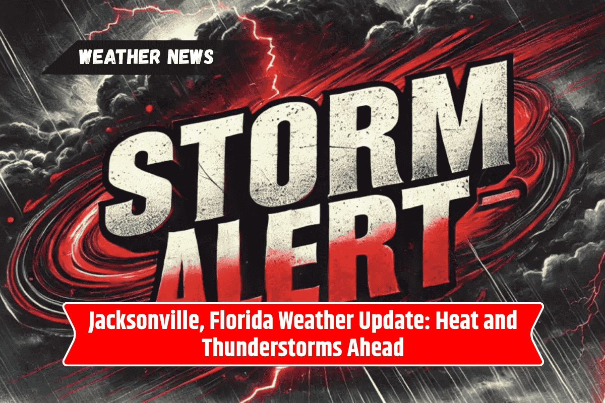
Heat and Thunderstorm Risks on Thursday
The National Weather Service predicts mostly sunny skies early Thursday, but a 30% chance of thunderstorms will develop after 2 p.m. Winds will pick up, coming from the west at 7 to 13 mph, which will add to the unstable, muggy conditions.
The heat index will make it feel like 107°F, which increases the risk of dehydration and heat-related illnesses, especially for children, seniors, and people working outdoors. It’s essential to stay hydrated, take breaks in shaded areas, and avoid excessive outdoor activity.
In addition to the heat, thunderstorms are expected to bring heavy rainfall and lightning in the afternoon and evening. Residents are urged to monitor the weather and check for lightning before heading out. Drivers should be cautious of slick roads, especially in low-lying areas, where flooding could occur.
Friday Through the Weekend: Stormy and Hot
Friday, August 1st, will continue the trend of hot and humid weather, with temperatures reaching near 98°F. While the day will remain mostly sunny, storms are expected to return by 8 p.m., affecting evening plans and potentially causing delays for those traveling.
The weekend looks particularly stormy, with a 90% chance of rain on Sunday, August 3rd. Heavy showers and thunderstorms are expected throughout the day, making outdoor events and travel across Jacksonville and Northeast Florida potentially difficult.
Flooded roads and power outages are a real possibility, so it’s best to plan accordingly.
Looking Ahead: Thunderstorms Persist Into Early August
As we head into Monday, August 4th, and Tuesday, August 5th, the forecast remains stormy. The threat of thunderstorms will continue with high rain chances, so residents should stay updated on weather advisories and be prepared for changing conditions.
Five-Day Detailed Forecast for Jacksonville, FL
Thursday, July 31: Sunny early, thunderstorms after 2 p.m. High near 97°F, heat index up to 107°F.
Friday, August 1: Mostly sunny, high near 98°F. Storms return after 8 p.m.
Saturday, August 2: Scattered showers and storms, especially after 8 a.m. High 95°F.
Sunday, August 3: Showers and storms all day, 90% chance of rain. High 92°F.
Monday, August 4: Thunderstorms remain likely, 80% chance of rain. High near 90°F.
Tuesday, August 5: Scattered thunderstorms likely, high near 90°F.
Jacksonville is facing another round of hot and stormy weather. With heat indices reaching dangerous levels and thunderstorms expected, residents and travelers should take precautions to stay safe.
Limiting outdoor activity, staying hydrated, and avoiding risky areas during storms will help ensure safety through the weekend and into the start of August. Keep an eye on weather alerts for rapid changes in conditions.