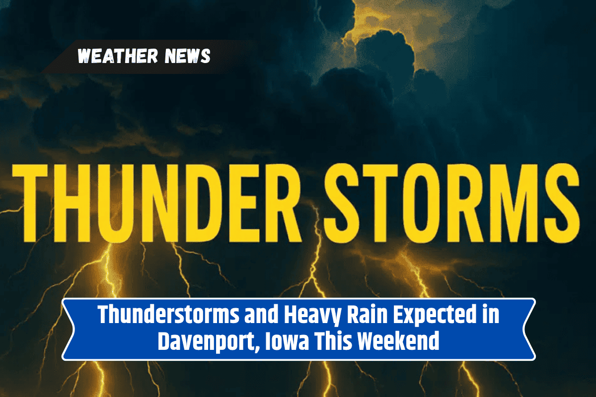
Davenport, Iowa, is preparing for a weather event on Saturday, July 26, as thunderstorms and heavy rain are set to roll into the Quad Cities. A slow-moving cold front will trigger strong to severe storms, bringing gusty winds, heavy rainfall, and possible flooding, which could disrupt travel plans and outdoor activities.
What to Expect on Saturday, July 26
The National Weather Service Quad Cities warns that thunderstorms will likely develop between 1 p.m. and 6 p.m. on Saturday, particularly across eastern Iowa and northwest Illinois, including areas near Interstate 80.
Heavy rainfall is expected, with between a quarter and half an inch of rain possible. Some stronger storms could produce isolated higher totals.
The storm system will bring gusty winds and the potential for flooding, especially on low-lying roads and areas prone to water accumulation. If you’re planning to travel on Saturday, it’s essential to keep an eye on the weather, have a weather app handy, and avoid driving through flooded areas.
Weather Conditions Following the Storms
As the thunderstorms move out Saturday night, the skies will begin to clear, and temperatures will drop to the mid-70s. Winds will shift from calm to southerly at around 5 mph before the storm system passes through, providing little relief from the heat until after the front moves out.
The Outlook for the Rest of the Week
After the thunderstorms on Saturday, conditions will improve for Sunday, with mostly sunny skies and a high of 89°F. However, temperatures will climb even higher on Monday, reaching a hot 93°F.
Fortunately, relief is expected by midweek, as a cold front arriving Monday night into Tuesday will lower temperatures into the upper 70s by Thursday, bringing much cooler and more pleasant weather.
Here’s the extended forecast for Davenport and the Quad Cities:
Saturday, July 26: Showers and thunderstorms likely after 1 p.m. High of 87°F, with rainfall amounts of 0.25–0.5 inches.
Sunday, July 27: Mostly sunny skies, high of 89°F, low of 77°F.
Monday, July 28: Sunny and hot, high of 93°F, low of 75°F.
Tuesday, July 29: Slight chance of storms, high of 81°F, low of 70°F.
Wednesday, July 30: Rain possible, especially in the afternoon, high of 81°F, low of 62°F.
Thursday, August 1: Mostly sunny and much cooler, high of 78°F.
Safety Tips for Saturday’s Storms
Avoid flooded roads: Flash flooding is a concern, especially in low-lying areas. If you encounter flooded roads, turn around and find an alternative route.
Check weather updates: Stay informed throughout the day, especially if you plan to be outdoors or traveling.
Prepare for power outages: With strong winds and heavy rain, power outages are possible. Make sure you have flashlights and a battery-powered radio on hand.
Protect your home: Secure outdoor furniture and other items that could be blown around by gusty winds.
By staying informed and prepared, you can stay safe during the storms and enjoy the more pleasant weather that follows.