Northeast Wisconsin is facing hazardous conditions this weekend due to a combination of high summer heat and wildfire smoke. With temperatures climbing near 91°F and poor air quality, residents should take precautions to stay safe and healthy.
The National Weather Service and the Wisconsin Department of Natural Resources (DNR) have issued warnings for the region, urging people to limit outdoor activities and take steps to protect their health.
Impact of Wildfire Smoke
Wildfire smoke from Canada is expected to sweep into northeast Wisconsin on Saturday, July 26, causing reduced visibility and poor air quality.
The presence of fine particulate matter (PM2.5) in the air will elevate pollution levels to unhealthy ranges, especially for sensitive groups such as people with asthma, heart conditions, or respiratory issues. This will affect areas near I-41, including Green Bay, Oshkosh, and Appleton.
An Air Quality Advisory is in place for Brown, Outagamie, and surrounding counties until at least 11 p.m. on Friday, July 25. The advisory may extend into the weekend as smoke levels remain high.
If you live in these areas, it’s essential to limit outdoor activity and stay indoors as much as possible. If you must go outside, try to avoid physical exertion, and consider using air purifiers indoors to help improve air quality.
Extreme Heat and Humidity
In addition to wildfire smoke, extreme heat will also be a concern. Temperatures will reach the upper 80s and low 90s from Saturday through Monday, with the heat index pushing into the mid-90s.
The southward breeze will provide little relief, so it’s important to stay hydrated and seek shade or air conditioning whenever possible. The high temperatures, combined with poor air quality, will make it feel much hotter than it actually is.
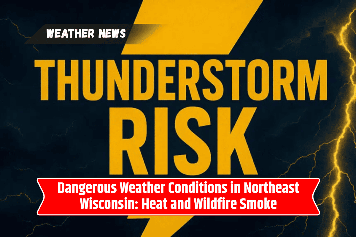
Rain and Thunderstorms on the Horizon
By Sunday night, showers and isolated thunderstorms could develop after 10 p.m. These storms could bring localized downpours and gusty winds, continuing into Monday morning.
While these thunderstorms may offer a brief break from the heat, they could also create additional hazards, including heavy rainfall and possible flooding in some areas.
Five-Day Forecast for Green Bay and Surrounding Areas
Saturday, July 26: Hazy sun with a high of 86°F. Smoke lingers, and the heat index could reach 95°F.
Sunday, July 27: High of 91°F, mostly sunny and humid, with storms possible after 10 p.m.
Monday, July 28: Hot with a high of 90°F, with a 30% chance of storms, mainly after 1 p.m.
Tuesday, July 29: Cooler with a high near 82°F, and more afternoon thunderstorms are possible.
Wednesday, July 30 – Friday, August 1: Temperatures fall into the upper 70s, with mostly sunny skies and lower humidity by Thursday.
Tips for Staying Safe
Limit outdoor activities: If you have asthma, heart issues, or respiratory conditions, it’s crucial to reduce time spent outdoors, especially during periods of high smoke concentrations.
Use air purifiers indoors: To help reduce the effects of poor air quality, consider using an air purifier in your home.
Stay hydrated and cool: Drink plenty of water, wear light clothing, and find shade or air conditioning to beat the heat.
Prepare for storms: Keep an eye on the weather and be prepared for possible thunderstorms and gusty winds, especially Sunday night through Monday.
As you make plans for the weekend, it’s important to stay informed about the changing weather and air quality conditions to protect your health and well-being.