As northern Minnesota heads into the weekend, residents and travelers in Duluth and nearby areas should prepare for smoky skies, thunderstorms, and potential flash flooding.
Starting Friday, July 25, through Sunday night, the region is expected to face a mix of hot temperatures, haze, and severe weather conditions. This update helps you understand what to expect, how to stay safe, and what the upcoming days will look like weather-wise.
Smoky Skies and Air Quality Alerts Continue
Duluth and the North Shore are currently under air quality alerts due to smoke drifting through the region. This smoke, mostly from wildfires, is settling in low-lying areas and valleys because of calm northwest winds.
The National Weather Service (NWS) in Duluth warns that these smoky conditions will stick around through Friday, July 25.
With temperatures hitting the low 80s and light winds, it’s best to avoid too much time outdoors, especially for those with breathing issues or sensitive health conditions. People living in areas surrounded by hills or valleys might notice the smoke more heavily.
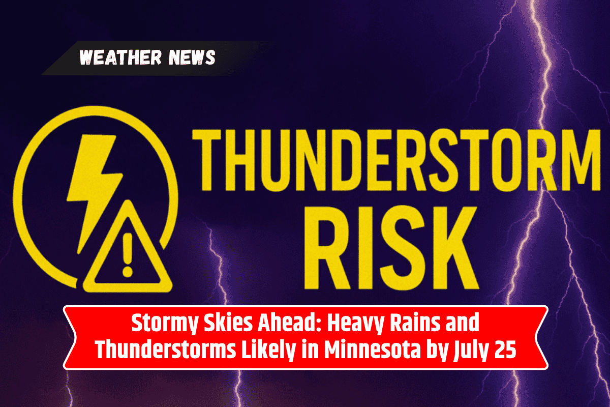
Weekend Thunderstorm Outlook and Rain Chances
Friday night brings a small 20% chance of light showers due to a weak weather disturbance. However, the real concern builds over the weekend. Storm chances rise significantly on Saturday and Sunday, especially along Highway 61 and the South Shore of Lake Superior.
On Saturday afternoon, expect isolated thunderstorms and localized downpours. These storms could pop up quickly, so it’s important to keep an umbrella or raincoat handy. The risk grows higher by Sunday night when the NWS predicts a 15% to 30% chance of flash flooding in northern Minnesota and northwest Wisconsin.
Travel and Outdoor Event Safety Tips
If you’re planning to travel or attend outdoor events over the weekend, keep a close watch on weather alerts. Avoid driving through flooded or low-lying roads during storms, as flash floods can occur with little warning. It’s also a good idea to keep your mobile devices charged in case of emergency updates or power outages.
Clearer Weather Coming Early Next Week
Thankfully, the stormy pattern should break by Monday, July 28. While some light rain might stick around in the morning, the afternoon is expected to clear up. Temperatures will remain warm, near 83°F, with more comfortable and sunny weather continuing into Tuesday and Wednesday.
Five-Day Weather Forecast for Duluth (July 25–30)
Friday, July 25: Mostly sunny with smoky skies. High around 80°F. Calm winds becoming light from the south.
Saturday, July 26: Partly cloudy with a chance of thunderstorms in the afternoon. High near 82°F. Winds from the southwest up to 15 mph.
Sunday, July 27: Showers and thunderstorms expected early morning and again by afternoon. High 84°F. Flash flood risk later at night.
Monday, July 28: A few early showers, then clearer skies. High near 83°F.
Tuesday, July 29: Sunny and breezy with cooler temperatures. High around 75°F.
This weekend in Duluth and northern Minnesota will be a mix of smoky skies and stormy weather. While Friday might feel relatively calm, things could quickly shift on Saturday and Sunday with a growing risk of thunderstorms and possible flash floods.
If you’re in the area, keep an eye on the forecast, avoid flood-prone roads, and stay prepared for changing conditions. The good news is that clearer and calmer weather is on the way early next week, offering a break from the weekend’s unpredictability.