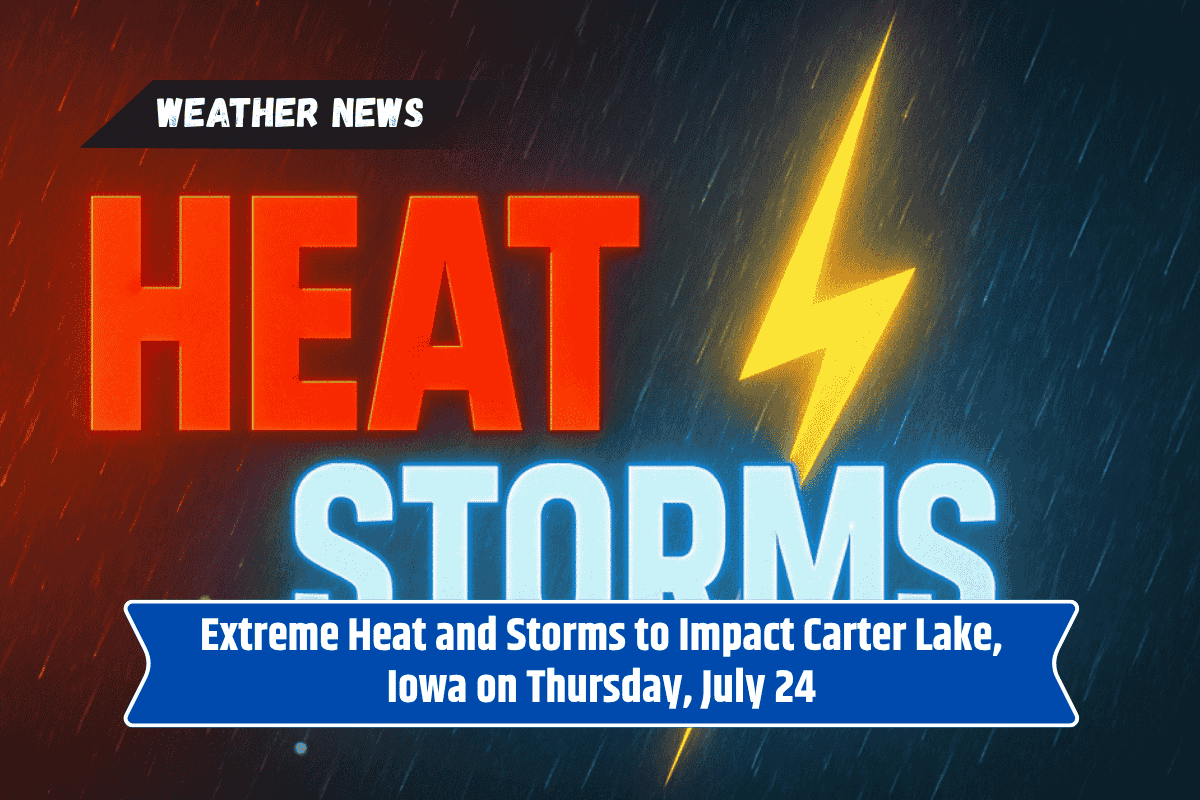
Residents of Carter Lake and surrounding areas in western Iowa should brace for a combination of relentless summer heat and strong storms on Thursday, July 24.
With temperatures soaring to 96°F and a 50% chance of thunderstorms, it’s crucial to prepare for both safety concerns and challenging driving conditions. Here’s what you need to know about the upcoming weather.
Heat Advisory and Storm System Moving In
The National Weather Service has issued a Heat Advisory through 8 p.m. CDT on Wednesday, but Thursday will bring even more intense conditions. As a storm system moves in, high instability and moisture will combine with the heat, creating the perfect conditions for severe weather.
Temperatures will rise to a hot 96°F, with strong winds coming from the south, gusting up to 26 mph. These winds could lead to localized tree damage and hazardous driving conditions, particularly on major roadways like I-29, as well as roads in Pottawattamie and Douglas counties.
Storms and Possible Power Outages
After 4 p.m. Thursday, thunderstorms are expected to roll through the area with a 50% chance of rain. Rainfall amounts could range from a tenth to a quarter inch. In addition to rain, expect strong winds and potential power outages.
Given the storm’s intensity, residents should avoid outdoor activities and stay inside, especially in the event of flash flooding at intersections.
Preparing for Thursday Night and Beyond
Thursday night will see another round of storms, with rain totals expected to stay between a tenth and a quarter inch. If you have outdoor plans, it’s best to reschedule.
Power outages are possible, so make sure to charge devices ahead of time. Flooded roads and intersections could also create traffic hazards, so avoid driving in areas with standing water.
Weekend Outlook
The weekend will start on a humid and breezy note with Saturday, July 26, bringing temperatures near 94°F and light winds. Saturday night will be quiet and mostly clear, but another surge of heat will hit Sunday with a high near 98°F and gusts up to 17 mph.
The heat will persist, making it essential to stay hydrated and avoid being outside for long periods during the hottest parts of the day.
5-Day Forecast for Carter Lake (July 24–July 29)
Thursday, July 24: High of 96°F, 50% chance of storms after 4 p.m., gusts up to 26 mph.
Friday, July 25: High of 86°F, 20% chance of showers or storms.
Saturday, July 26: Mostly sunny, high of 94°F, light breeze.
Sunday, July 27: Hot and sunny, high near 98°F, gusts up to 17 mph.
Monday, July 28: Slight storm chance, high of 93°F.
As storms approach, it’s important to stay informed and prepared for the heat and potential power outages. Reschedule any outdoor plans and take precautions to ensure your safety during the storms. Stay weather-aware and make sure you are ready for any disruptions that may come.