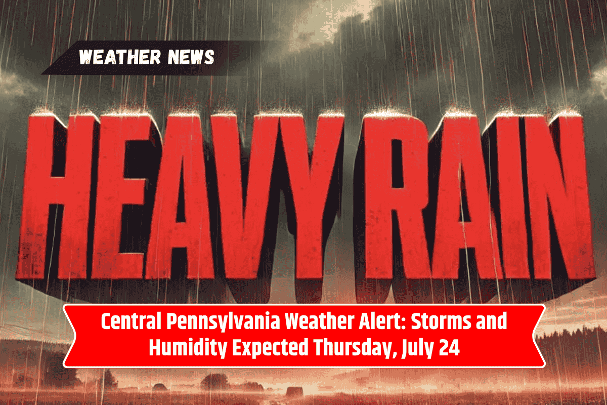
A sharp increase in heat and humidity is set to bring afternoon storms to Central Pennsylvania on Thursday, July 24. With temperatures nearing 91°F, locals should prepare for possible travel disruptions due to lightning and brief downpours, particularly along Route 322 and in State College.
Here’s everything you need to know about the upcoming weather.
Stormy Conditions Expected Thursday Afternoon
The National Weather Service warns that thunderstorms will begin to develop in the late morning, starting around 11 a.m. on Thursday. As the day progresses, the likelihood of storms will increase, particularly by 2 p.m.
These scattered storms could bring gusty winds and brief, heavy rainfall, especially to areas east of State College. Although rainfall totals are expected to remain low—around a tenth of an inch—stronger storms could bring heavier rain.
Friday: More Storms and Muggy Conditions
The stormy weather will continue on Friday, July 25, with a renewed round of showers and isolated thunderstorms between 8 a.m. and 2 p.m. Expect the same muggy conditions and highs near 90°F.
Rain chances will remain elevated throughout the day and into the evening, with conditions gradually improving by early Saturday morning.
Weekend Outlook: Showers and Thunderstorms
The weekend forecast looks similarly unsettled. Storms are expected to redevelop on Saturday night, continuing into Sunday afternoon before tapering off overnight. High temperatures will remain in the mid-to-upper 80s, with lingering humidity making the air feel warmer than it actually is.
Stay Weather-Aware
Residents should limit outdoor activities during peak heating hours, especially in the afternoon. It’s important to stay weather-aware through mobile alerts or NOAA weather radios to track any changes in storm intensity.