Wilmington, Delaware, is in for a wet and stormy Tuesday, July 15, as heavy rain and thunderstorms are set to roll through the area. The storms could create hazardous driving conditions on I-95 and local roads throughout New Castle County.
Residents and commuters should prepare for slower travel and potential disruptions, especially during the afternoon and evening hours.
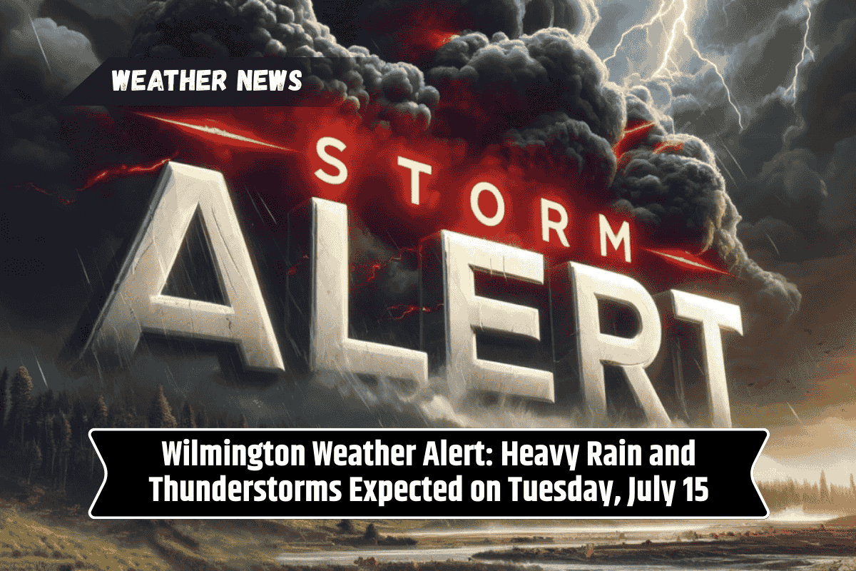
Thunderstorms and Rain on Tuesday, July 15
The National Weather Service warns that thunderstorms will develop by Tuesday afternoon, with the potential for patchy fog in the morning. As the day progresses, heavy downpours are expected, making travel conditions dangerous, particularly after 2 p.m.
The risk of localized flooding will be high, especially in low-lying areas and along major routes like I-495 and U.S. Route 13. Travelers are advised to delay non-essential trips and be cautious on the roads. If you must drive, be sure to use headlights, reduce speed, and watch for ponding water.
By Tuesday night, the rain and storms will continue, with heavy rain possible until midnight. The wet weather will linger into Wednesday morning, with lingering showers through dawn. The temperature on Tuesday will reach a high of 87°F, with overnight lows dipping to 74°F.
Wednesday Forecast: More Storms and Unsettled Weather
The unsettled weather will continue on Wednesday, with more showers and isolated thunderstorms likely. Expect another muggy day with temperatures reaching 89°F. Roads will remain damp, so be cautious while traveling.
Improvement by Thursday and Weekend Outlook
Conditions will improve by Thursday, with partly sunny skies and a high of 92°F. The heat and humidity will return for the weekend, but storm chances will decrease, giving Wilmington a more typical summer feel with isolated showers on Saturday and a chance of storms on Sunday.
Five-Day Wilmington Forecast:
Tuesday: Heavy rain and thunderstorms likely after 2 p.m., patchy fog early. High: 87°F
Tuesday Night: Showers and thunderstorms continue, possibly heavy. Low: 74°F
Wednesday: Chance of showers and thunderstorms. High: 89°F
Thursday: Partly sunny, chance of afternoon storms. High: 92°F
Friday: Chance of showers and thunderstorms after 2 p.m. High: 92°F
Saturday: Isolated showers, mostly sunny. High: 89°F
Sunday: A chance of storms. Partly sunny. High: 89°F
Stay up-to-date on local weather alerts, and drive cautiously in wet conditions. Slow down, use headlights, and avoid driving through flooded areas.