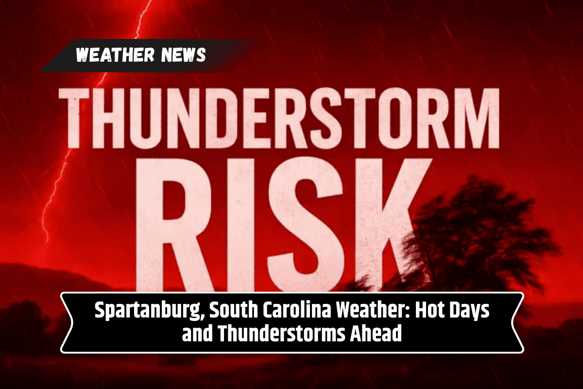
Spartanburg, South Carolina, is gearing up for a week filled with intense summer heat and frequent thunderstorms. Starting Monday, temperatures will soar into the mid-90s, creating a challenging weather pattern for residents.
Along with the high heat, thunderstorms are expected to develop in the afternoons, bringing the risk of heavy rainfall, gusty winds, and potential disruptions to travel. If you live in or around Spartanburg, it’s important to stay weather-aware, especially when it comes to traveling and outdoor activities.
Monday: Hot and Stormy Start
Monday will begin with sunny skies and scorching temperatures, with highs reaching near 96°F. The heat index will make it feel close to 100°F, which could be dangerous for those spending extended time outdoors.
Thunderstorms are expected to develop after 3 p.m., with a 20% chance of showers and storms. While the first round of storms will be relatively light, the evening will see a noticeable increase in storm coverage, potentially bringing heavy rain and strong winds, especially between I-85 and I-26.
Travelers should be cautious on the roads, as rapidly changing conditions could lead to slick pavement and reduced visibility. Be prepared for heavy downpours that may cause pooling water on the roads, making driving hazardous.
Tuesday: Increased Storm Coverage
On Tuesday, the thunderstorms will intensify, with a 50% to 60% chance of storms developing after 4 p.m. The day will start with a mix of sun and clouds, and temperatures will peak around 91°F. The storms could continue into the evening, with localized heavy rain, lightning, and gusty winds likely to affect the area.
As always, remember that if you hear thunder, it’s time to seek shelter indoors. Be especially cautious if you’re out in the evening for activities or commuting, as visibility may be poor due to the storms.
Wednesday and Thursday: Continued Storm Risk
The unsettled weather will persist through Wednesday and Thursday, with daily chances for storms in the afternoon and evening. Temperatures will be slightly lower, with highs around 89°F.
The storms on both days are expected to bring rain, gusty winds, and the possibility of flash flooding in localized areas. This will create challenges for outdoor activities, especially in the late afternoon and evening when the storms are most likely to develop.
Friday: A Slight Chance of Storms
By Friday, Spartanburg will see a brief respite from the heavy storms, although there is still a 30% chance of scattered storms. The day will remain mostly sunny, but temperatures will continue to hover around 91°F. While the threat of severe storms is lower, conditions will remain unsettled, and the possibility of rain still looms.
Tips for Staying Safe During Thunderstorms
With thunderstorms likely throughout the week, it’s important to take precautions. Stay updated with weather alerts, especially if you’re planning to be outdoors. If a storm is approaching, make sure to seek shelter indoors.
Thunderstorms can bring dangerous lightning, so avoid open fields and tall objects. If you’re driving, be aware of rapidly changing conditions that could make roads slippery. In the event of a storm, don’t drive through flooded areas, as they can be deeper than they appear.
Five-Day Forecast for Spartanburg, SC (July 14–18)
Monday, July 14:
Sunny and hot, high near 96°F.
20% chance of storms after 3 p.m.
Tuesday, July 15:
Thunderstorms likely after 4 p.m., high near 91°F.
50–60% chance of storms, especially overnight.
Wednesday, July 16:
Mostly cloudy, storms likely in the afternoon and evening, high near 89°F.
Thursday, July 17:
Partly sunny, chance of storms in the afternoon and evening, high near 89°F.
Friday, July 18:
30% chance of storms, mostly sunny, high near 91°F.
Spartanburg will experience a hot, stormy week ahead with daily chances of thunderstorms and high temperatures. While Monday starts off sunny and extremely hot, thunderstorms will gradually increase in intensity and coverage.
The stormy pattern will continue through the week, with frequent rain, gusty winds, and the potential for localized flooding. Residents should stay updated on the weather and take precautions to ensure their safety during these summer weather hazards.