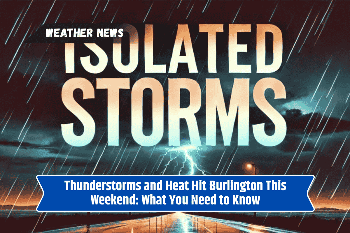
Burlington, VT, will face a combination of heat and thunderstorms this weekend, bringing potential disruptions to outdoor plans. From pop-up showers to downpours, this weather could impact travel and activities across Vermont. Here’s a look at the weekend forecast and how to stay safe during these conditions.
Weekend Weather Forecast for Burlington
On Saturday, July 12, Burlington will experience rising temperatures, with a high near 88°F. However, the heat index will make it feel as hot as 93°F, which could create an uncomfortable environment for anyone spending time outdoors.
According to the National Weather Service, there’s a 40% chance of thunderstorms starting after 11 a.m. These storms will likely persist through the afternoon, bringing rain, gusty winds, and the risk of minor flooding.
Travelers on I-89 should be especially cautious, as heavy rain could cause slick roads and slow traffic. If you’re traveling, it’s a good idea to check the forecast and avoid unnecessary trips during the storms.
Winds from the south, around 6 mph, will increase as the storms approach. The rain may be light in most areas, but thunderstorms could cause localized flooding due to rapid ponding on the roads. Residents are urged to stay weather-aware and charge phones in advance in case of power outages.
Sunday and Beyond
On Sunday, the weather will remain hot, with temperatures staying around 88°F and a 60% chance of rain by mid-afternoon. South winds could gust up to 13 mph, making outdoor conditions even more challenging.
As thunderstorms and additional showers become more likely throughout the evening (70% chance), anyone planning outdoor events should keep alternate plans handy in case the weather changes suddenly.
Looking ahead to Monday, there will still be a 60% chance of showers, with temperatures around 84°F. However, by Tuesday, the weather will dry up, and mostly sunny skies will take over, with temperatures reaching 89°F.
This will bring Vermont its first true taste of summer heat in July. Wednesday will also be hot, with highs climbing to 91°F under mostly sunny skies.
How to Stay Safe During the Weekend Weather
In these stormy and hot conditions, it’s important to take a few precautions to stay safe:
- Avoid Unnecessary Travel: When storms are expected, try to stay off the roads. If you must drive, use extra caution, as rain can cause slick surfaces and poor visibility.
- Stay Hydrated: The heat index will make it feel much hotter, so drink plenty of water to avoid dehydration.
- Charge Devices: With thunderstorms possibly affecting power, make sure your phone and other important devices are fully charged.
- Keep Alternate Plans: If you have outdoor activities planned, be prepared to change them at a moment’s notice due to changing weather conditions.
- Watch for Flooding: Be mindful of heavy rain, especially in low-lying areas or near roadways where ponding could occur.
Five-Day Forecast (Burlington, VT)
Saturday: Thunderstorms possible, high near 88°F (heat index up to 93°F).
Sunday: Showers likely, high 88°F, breezy with gusty winds up to 13 mph.
Monday: Showers likely, high 84°F.
Tuesday: Mostly sunny, high 89°F.
Wednesday: Mostly sunny, hot, high 91°F.
Stay weather-aware and take necessary precautions this weekend to stay safe and comfortable as the storms and heat make their way through Burlington.