Pittsburgh is in for another round of hot and steamy weather, with thunderstorms likely to disrupt the afternoon and evening commute. Residents should stay prepared for scattered showers, gusty winds, and the possibility of downpours over the next few days.
Thursday: Thunderstorms After 2 p.m.
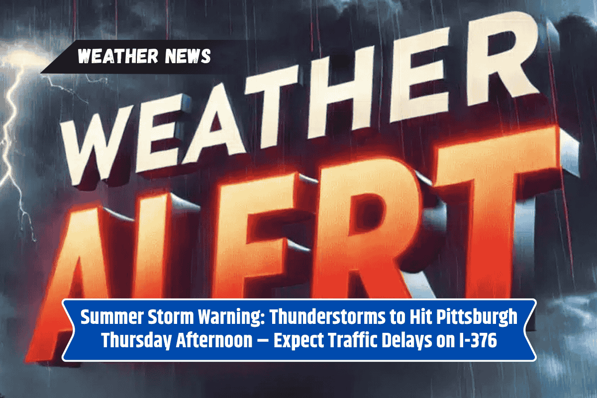
Thursday, July 10, will see a humid high of 88°F. The National Weather Service reports that isolated showers may start in the morning, but thunderstorms are expected to develop after 2 p.m. These storms could bring heavy rainfall and gusty winds, slowing down traffic, especially on major highways like I-376.
Motorists should be cautious as roads may become slick during the storms. Scattered storms will continue through the evening, and drivers should be aware of reduced visibility as patchy fog could form overnight.
Friday: More Storms and Fog
Friday, July 11, will see similar conditions, with high temperatures again reaching 88°F. Expect areas of fog in the morning, followed by more scattered thunderstorms in the afternoon, starting after 2 p.m.
The storms could again bring brief downpours, leading to potential travel delays and slick roads. The unsettled weather will persist into the evening, so stay informed about the latest weather updates if you have evening plans.
Saturday: Brief Sunshine and Heat
Saturday, July 12, will bring a short break in the stormy pattern. The morning will be mostly sunny, and temperatures will climb to around 91°F. However, as the day progresses, the risk for scattered afternoon thunderstorms increases, especially by late Saturday and into the night.
If you’re planning outdoor activities, be prepared for sudden changes in the weather and keep an eye on radar.
Sunday: Storms Return with High Humidity
Sunday, July 13, will be a bit cooler, with highs around 89°F. There will be a 70% chance of scattered showers and thunderstorms, particularly in the afternoon. The humidity will remain high, making the heat feel more intense. If you’re planning to be outside, keep an eye on the weather, as sudden storms could cause disruptions.
Monday: More Showers and Clouds
Monday, July 14, will bring a continuation of the unsettled weather, with a high of 89°F. Expect partly sunny skies with a chance of scattered showers throughout the day. The storms are likely to develop later in the afternoon, so if you have outdoor plans, be prepared for the possibility of rain.
Extended Forecast: Staying Prepared for Summer Weather
The summer pattern of high temperatures and scattered thunderstorms will continue through the weekend and into early next week. Residents are advised to stay weather-aware, especially during peak storm hours, and plan accordingly for travel and outdoor activities.
Keep your mobile devices charged in case of power outages, and avoid driving in heavy rain or on flooded roads.