Raleigh, North Carolina is bracing for a combination of summer heat and severe thunderstorms this week, which will cause disruptions in travel and daily activities across the area.
On Wednesday, July 9, both residents and travelers should be prepared for sudden downpours, high winds, and potential flash flooding, especially from late morning into the afternoon.
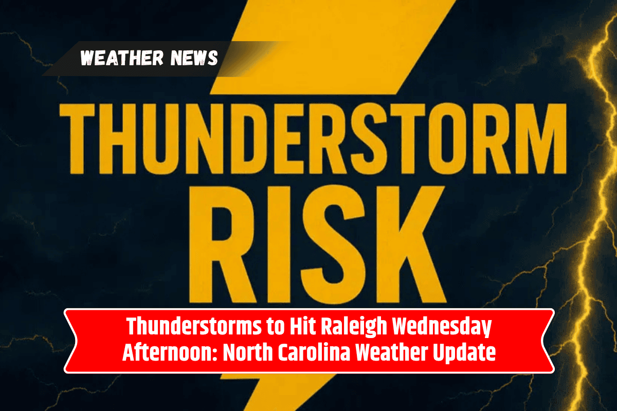
Severe Weather in Raleigh on Wednesday
The National Weather Service forecasts that showers and thunderstorms will begin after 11 a.m. on Wednesday. These conditions are expected to intensify throughout the afternoon, with the heat index climbing as high as 103°.
Winds from the south will pick up at around 7 mph, and there is a risk of up to half an inch of rainfall in some neighborhoods. The highest risk of severe weather will occur from noon through the evening commute.
Key routes like US-401, I-40, and NC-540 are expected to experience significant slowdowns, so commuters should plan ahead. Residents are advised to be cautious of rapidly changing conditions and potential flooding. The chance of rain on Wednesday stands at 80%, so it’s essential to keep an eye on local weather updates.
Risks of Flooding, Power Outages, and Delays
As storms intensify, localized flooding, downed tree limbs, and power outages are possible, especially during the heaviest rainfall periods. It’s important to stay indoors when there’s thunder, and ensure your mobile devices are charged in case of service interruptions. Avoid unnecessary travel, particularly on roads that may be flooded.
Outdoor activities, including sports events and construction projects, may be delayed or canceled to prioritize safety during the storm. Raleigh residents are encouraged to stay updated with weather alerts and take safety precautions.
Extended Forecast for the Rest of the Week
Looking ahead, there is a high chance of continued thunderstorms throughout the week. Scattered storms are expected to remain a risk on Thursday, with widespread rain likely to continue into Friday.
Saturday will provide a brief break with partly sunny skies, but more storms are expected to return by Sunday and Monday. It’s best to remain prepared for sudden weather changes.
Five-Day Forecast for Raleigh, NC (July 9 – July 14)
Wednesday (July 9): Showers and thunderstorms after 11 a.m., high near 93°. Heat index up to 103°. Chance of rain 80%.
Thursday (July 10): Showers and thunderstorms likely, especially in the afternoon. High near 90°. Chance of rain 90%.
Friday (July 11): Afternoon thunderstorms possible, mostly cloudy, high near 90°. Chance of rain 80%.
Saturday (July 12): Partly sunny, scattered storms after 2 p.m. High near 91°. Chance of rain 50%.
Sunday (July 13): Partly sunny, continued risk of storms, high near 93°. Chance of rain 40%.
Monday (July 14): More storms likely, high near 92°. Chance of rain 60%.
The weather in Raleigh over the next few days is going to be unpredictable, with thunderstorms, high temperatures, and the potential for flash flooding and power outages.
Residents should stay prepared and monitor weather updates closely. Whether you’re driving or planning outdoor activities, always prioritize safety by avoiding flooded roads and staying indoors during severe weather.