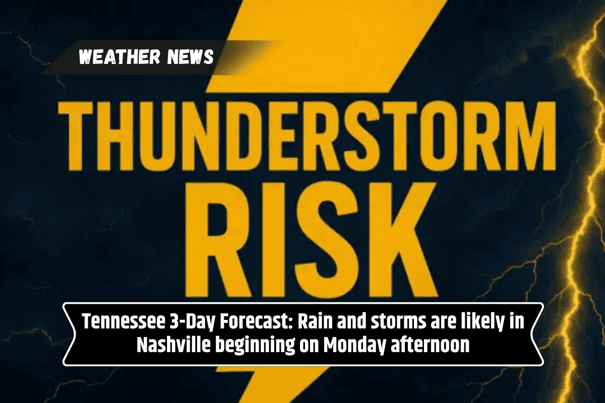
Nashville, Tennessee – Residents in Middle Tennessee can enjoy one more dry, hot day before a shift in the weather pattern arrives Monday afternoon, bringing rain and thunderstorms just as the long holiday weekend concludes.
Weather Forecast for Sunday and Monday
According to the National Weather Service in Nashville, Sunday will be partly sunny, with high temperatures near 90°F and lows ranging from the mid-60s to low 70s.
Although a stray storm cannot be ruled out, the main risk of rain will start Monday after noon. As the day progresses, scattered thunderstorms are expected to develop across Davidson, Rutherford, and Williamson counties.
Tuesday’s Weather and Summer Storms
The stormy weather will continue into Tuesday, with afternoon storms expected, particularly along the I-65 and I-40 corridors. Highs will range from 88°F to 94°F, and increased humidity will make conditions feel even hotter.
Slick roads may become a concern during evening commutes due to rainfall. Temperatures are expected to dip slightly later in the week as cloud cover increases.
Stay Prepared for Changing Conditions
Residents are urged to stay weather-aware, especially during afternoon travel hours. It’s a good idea to bring umbrellas, keep an eye on weather alerts, and avoid outdoor activities during peak storm windows. This marks the return of a more unsettled summer weather pattern, similar to what was seen in mid-June.
What to Expect for the Week Ahead
Rain chances will remain high throughout the week, with additional weather advisories possible by Wednesday. If you have outdoor plans or need to travel, be sure to stay updated with the latest weather information.
Three-Day Outlook for Nashville:
Sunday: Partly sunny with a stray afternoon storm. Highs of 89–96°F, lows of 66–74°F.
Monday: PM showers and storms likely. Highs of 89–94°F, lows of 67–75°F.
Tuesday: Scattered afternoon storms. Highs of 88–93°F, lows of 68–74°F.