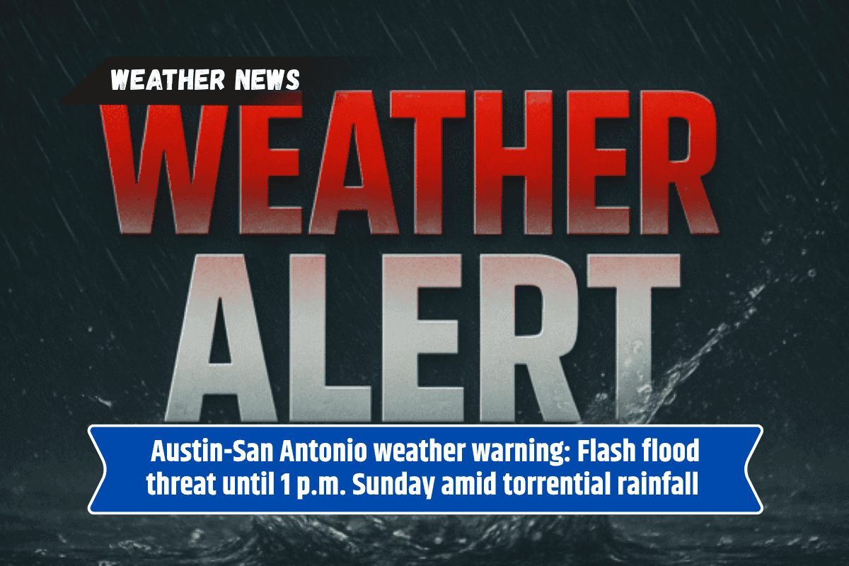
Austin, Texas – Central Texas residents, including those in Austin, San Antonio, and New Braunfels, are facing a heightened risk of flash flooding through early Sunday afternoon. A Flood Watch is in effect until 1 p.m. CDT for the Hill Country and areas along and east of the I-35 corridor.
Flood Watch and Rainfall Predictions
According to the National Weather Service (NWS) in Austin/San Antonio, an additional 2 to 4 inches of rain is expected to fall across the region, with isolated pockets possibly receiving up to 10 inches.
This heavy rainfall will lead to excessive runoff, increasing the likelihood of flash flooding, especially in low-lying areas, rivers, creeks, and low water crossings.
Areas Most at Risk
Cities like Georgetown, Fredericksburg, and Kyle are under heightened flood risk, especially near flood-prone roads and rural crossings. The NWS advises motorists to avoid travel whenever possible and never attempt to cross flooded roadways. They remind residents of the critical safety message: “Turn around, don’t drown.”
Rapid Runoff and Flash Flooding
This flood event follows a period of drier-than-average weather, which means the ground is less able to absorb the rainfall. As a result, rapid runoff is expected. With rainfall occurring in short, intense bursts, localized flooding could develop quickly and with little warning.
Stay Alert and Prepared
Flood Watch conditions remain in effect until Sunday afternoon, and additional warnings may be issued as the situation evolves. Residents are urged to stay weather-aware, monitor local updates, and take precautions to stay safe during this flash flooding event.
Given the ongoing risk of flash flooding, it’s essential for Central Texas residents to stay informed and take immediate action if needed. Be especially cautious around flood-prone areas, and remember that the weather can change rapidly in these conditions.