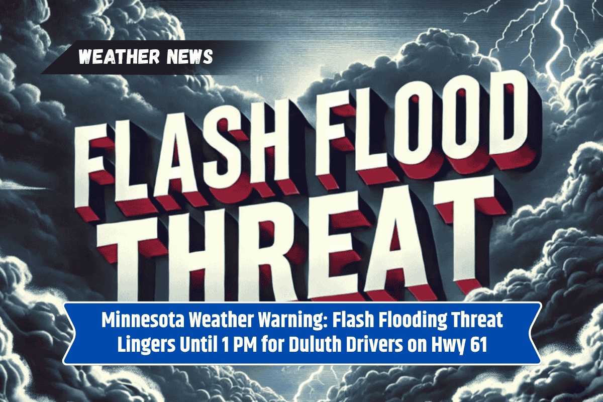
Northeast Minnesota, particularly Duluth, is still facing the threat of strong storms and potential flooding. With heavy rain already causing excessive runoff, residents can expect more downpours and strong winds, especially by Sunday afternoon. Flooding remains a concern, particularly for Highway 61 and local low-lying roads.
Flood Watch and Severe Weather Threat
The National Weather Service in Duluth has issued a Flood Watch for several counties, including St. Louis, Carlton, Lake, and Cook. The watch will remain in effect until 1 p.m. CDT Sunday.
Overnight rains have already resulted in excess runoff, and additional storms could bring more than two inches of rain, potentially triggering flash flooding in creeks, underpasses, and city streets. It is crucial for residents to stay alert for any updates, as conditions could worsen quickly.
In addition to the flooding risk, more showers and thunderstorms are expected to develop after 3 p.m. Sunday, with some storms possibly turning severe. North-central Wisconsin could also see severe weather. Winds could gust between 40 and 60 mph, and hail and rapid rainfall are also expected.
Drivers should be cautious and avoid driving through standing water, which could cause accidents or road closures. Flash Flood Warnings may be issued, so residents are urged to monitor weather updates closely.
Beach Hazard Risk
For those planning to head to the beaches near Duluth and Wisconsin Point, there is a moderate rip current risk on Sunday. Beachgoers should check for any Beach Hazard Statements before heading into the water, as strong wave action could make swimming dangerous.
Five-Day Forecast for Duluth, July 6–July 11:
Sunday: Showers and storms likely after 3 p.m., high near 78°F. Breezy with gusts up to 20 mph.
Monday: Showers and storms possible before 4 p.m., high near 70°F, partly sunny in the afternoon.
Tuesday: Mostly sunny, high near 75°F, light east wind.
Wednesday: Slight chance of storms, high around 73°F.
Thursday: Thunderstorms return, high near 72°F, gusts up to 15 mph.
As storms continue to impact Duluth and surrounding areas, residents need to stay vigilant about potential flash flooding and severe weather conditions.
The Flood Watch is in effect until Sunday afternoon, and additional storms could bring further risks. Whether you’re heading out on the road or to the beach, stay informed and take necessary precautions to stay safe.